
There are 72 Counties in Wisconsin – “The Badger State“
Also be sure to see my United States County Counting Page for the rest of the states.

I have visited 59 Counties = 81.9% of Counties in Wisconsin
Counties visited are colored-in; counties still needing to be visited are blank. Map created using Mob Rule.
Twelve Mile Circle Articles Featuring Places in Wisconsin
Markers designate the Wisconsin locations featured in Twelve Mile Circle articles.
Counties in Wisconsin
Below are the 72 counties in Wisconsin. Although infrequent, counties sometimes do change so please let me know if any of this information is out of date and I will update it. Those counties that I have visited are highlighted in Red. Readers can also link to any articles manually in this section if the map isn’t working.
- Adams: Quad County Towns
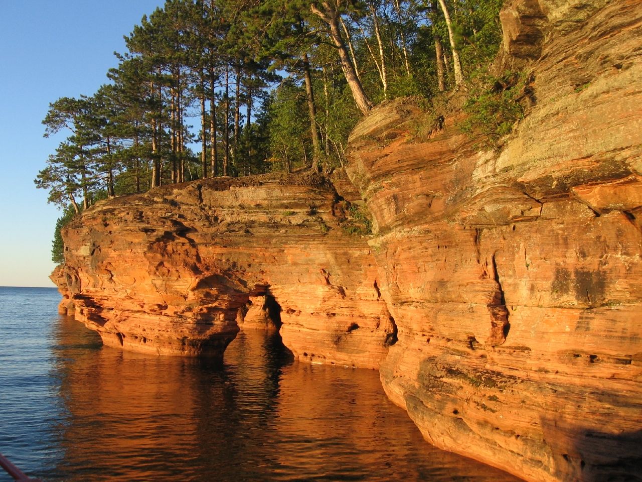
- Ashland: Tombolo!; Apostle Islands / Bayfield Peninsula Map & Index (Madeline Island / Bayfield Ferry, Madeline Island’s Big Bay, Madeline Island Historical Museum, Miscellaneous Locations); South Shore Brewery
- Barron: Barron County Street Grid; Big Zero; Town of County Line
- Bayfield: Run on Water; Apostle Islands / Bayfield Peninsula Map & Index (Bayfield; Little Sand Bay & Hokenson Brothers Fishery, Madeline Island / Bayfield Ferry, Mawikwe Sea Caves, Miscellaneous Locations; Raspberry Island; Sand Island & Eagle Island).
- Brown: Atlas: Brown County in 1850;Streets Named After…
- Buffalo: Mississippi River Lock & Dam Number 4
- Burnett
- Calumet: Rowland’s Calumet Brewing Co.
- Chippewa
- Clark
- Columbia: Quad County Towns; Portage USA; Webby Finds; Perfect Weather; Moosejaw Pizza & Brewery
- Crawford: 1000!
- Dane: Hooker Ave & Pleasure Dr.; Ale Asylum; Angelic Brewing Co.; Capital Brewery; Granite City Food & Brewery; Great Dane Pub & Brewing Co.; Grumpy Troll Brew Pub; J. T. Whitney’s Pub & Brewery
- Dodge
- Door: Icelandic Diaspora; Some Longitudinal Lines; Slices of Belgium; Cana Island Lighthouse; Fewest County Borders – Part II: Peninsulas; Washington Island; Shipwrecked Brew Pub
- Douglas: Street View Roadkill; Adjacent Tree Towns
- Dunn
- Eau Claire: Northwoods Brewpub Grill
- Florence
- Fond Du Lac
- Forest
- Grant: Cassville Ferry; The Point of Beginning; Wisconsin’s Great River Road; Rapid Transit in 1844
- Green
- Green Lake
- Iowa: The Sylvester Family Journey to Wisconsin in 1844; County with (Another) State’s Name; Brewery Creek Brewing
- Iron: Wisconsin to Michigan Bridge
- Jackson
- Jefferson: Ixonia; The Jeffersons and Beyond; Octagons; Wisconsin Floods – 2008; Bellows Brew Pub; Tyranena Brewing Company
- Juneau: What the Dell?; Quad County Towns
- Kenosha
- Kewaunee
- La Crosse: Pearl Street Brewery; Sunny the Sunfish
- Lafayette: Wisconsin’s Original Capitol; The Point of Beginning
- Langlade
- Lincoln
- Manitowoc: Lake Michigan Car Ferry
- Marathon: Largest county in Wisconsin (1,545 square miles); The 45X90 Spot
- Marinette
- Marquette
- Menominee: Smallest county population in Wisconsin (4,562 people in 2000 Census); Menominee Indian Tribe of Wisconsin.
- Milwaukee: Largest county population in Wisconsin (940,164 people in 2000 Census); General Mitchell Airport; Moorish Revival; Highway to Park; The Oddity That Got Away; 81 on 81; Recombobulation Area; Milwaukee Ale House; Milwaukee Breakwater Light; Water Street Brewery; Where the Stadium Once Stood
- Monroe
- Oconto: Chicken Scratch
- Oneida: Minocqua Brewing Company
- Outagamie: Fox River Brewing Company – Appleton
- Ozaukee: Smallest county in Wisconsin (232 square miles).
- Pepin: Fort St. Antoine; Lake Pepin
- Pierce: Bow and Arrow Formation
- Polk: Polk-Barron and Quadripoint
- Portage
- Price: Million Acre Swamp; Timm’s Hill – The Highest Point in Wisconsin; Why THIS Spot?
- Racine
- Richland
- Rock
- Rusk: Ladysmith
- St. Croix: Beery Places
- Sauk: Quad County Towns; Lake Delton is Gone; The House on the Rock
- Sawyer: The Big Musky
- Shawano
- Sheboygan: Completely Random
- Taylor
- Trempealeau
- Vernon
- Vilas: Rappers Delight
- Walworth: Randy’s Fun Hunters Brewery
- Washburn
- Washington: Triple Letter
- Waukesha: Old World Wisconsin; GPS and Genealogy; Delafield Brewhaus
- Waupaca: Atlas: Brown County in 1850 (note – Waupaca was part of Brown in 1850)
- Waushara: Triple Letter
- Winnebago: Winneconne Rebellion; Fox River Brewing Company – Oshkosh
- Wood: Central Waters BrewPub
Quick Facts About Wisconsin
- Location: East North Central United States. See map above.
- Size(1): 54,158 square miles. Wisconsin is the 25th largest state. The next larger state is Illinois and the next smaller state is Florida.
- Population(2): 5,813,568 people. Wisconsin is the 20th most populous state. The next more populous state is Maryland and the next less populous state is Colorado.
- Population Density: 107.3 people per square mile. Wisconsin is the 26th most densely populated state. The next more densely populated state is Louisiana and the next less densely populated state is Alabama.
- Bordering States: Wisconsin shares a border with 4 states: Minnesota; Iowa; Illinois and Michigan.
- Admission to the Union: May 29, 1848. Wisconsin was the 30th state admitted to the Union, after Iowa and before California.
- Capital: Madison.
- Highest Point: 1,951 feet at Timms Hill. See My Wisconsin Highpoint page.
- Lowest Point: 579 feet at the Lake Michigan.
- Government website: Wisconsin.gov – Portal Home.
- Official Tourism website: Wisconsin Department of Tourism.
- Still not enough? See Wikipedia’s Wisconsin page.
Sources:
(1) Wikipedia: List of U.S. states and territories by area. Land area only.
(2) Wikipedia: List of states and territories of the United States by population. Estimated population on July 1, 2019.
Leave a Reply