
There are 67 Counties in Pennsylvania – “The Keystone State“
Also be sure to see my United States County Counting Page for the rest of the states.
I have visited 67 Counties = 100% of Counties in Pennsylvania
Counties visited are colored-in; counties still needing to be visited are blank. Map created using Mob Rule.
Twelve Mile Circle Articles Featuring Places in Pennsylvania
Markers designate the Pennsylvania locations featured in Twelve Mile Circle articles.
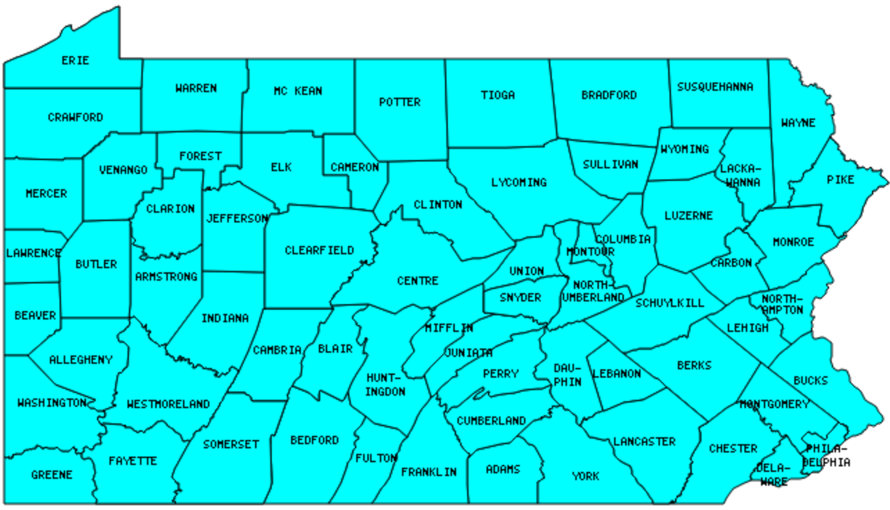
Counties in Pennsylvania

Below are the 67 counties in Pennsylvania. Although infrequent, counties sometimes do change so please let me know if any of this information is out of date and I will update it. Those counties that I have visited are highlighted in Red. Readers can also link to any articles manually in this section if the map isn’t working.
- Adams: Michigan Cavalry Brigade Monument; Looney Tunes Geography; An Obscure Gettysburg; Gettysbrew Pub & Brewery; Heikes Covered Bridge
- Allegheny: Pittsburgh Zoo; How Not to See a City; Duquesne Brewing Co. Clock; The Oddity That Got Away; Point State Park; CSX Railroad; Homestead Steel Works; Braddock; Dr. Howder; The Red Waterfall; Pittsburgh Zoo
- Armstrong
- Beaver: Practically Insignificant
- Bedford: The Coffee Pot; Fort Bedford; Superlative Tunnels; South Midway
- Berks
- Blair: Foot of Ten; Flat as a Pancake; Just as Enigmatic
- Bradford: New York Steals Roads from its Neighbors!
- Bucks: Chicken Scratch
- Butler: Solar System; Cranberry; Dented Keg
- Cambria: Nanty Glo; Tunnels, Bridges, Lifts and Inclines; Nimby Lane; Airport to Nowhere
- Cameron: Bucktail Monument
- Carbon
- Centre
- Chester: Where Arc Meets Wedge
- Clarion: Thanksgiving Towns; The Big Cow
- Clearfield: Sunshine Chalet; Doolittle Station; Bilger’s Rocks; Roadside Aliens; McGees Mills Covered Bridge
- Clinton
- Columbia
- Crawford
- Cumberland: Shaped Like it Sounds
- Dauphin: Name That Smell; Appalachian Brewing Co.
- Delaware: Wawa; 12 Mile Circle – Stone 17
- Elk
- Erie: Erie Triangle; Presque Isle State Park
- Fayette: Braddock’s Tomb; Mile Marker 100; Dr. Howder Road; Evidence of Beavers; Fort Necessity; Google Maps County Lines on the Way?; Whitewater
- Forest: Smallest county population in Pennsylvania (4,946 people in 2000 Census).
- Franklin
- Fulton
- Greene: The Dreadful Road Trip
- Huntingdon: Autumn in Huntingdon
- Indiana: Brought Home from the Mexican War
- Jefferson: Scripture Rocks; Phil’s Burrow; Gobbler’s Knob
- Juniata
- Lackawanna: I Before E Like in Milwaukie; Three American Moscows
- Lancaster: Lucky 7 & the Ghost Kid; Bube’s Brewery; Lancaster Brewing Company
- Lawrence: Negligible Population
- Lebanon: Cornfield
- Lehigh
- Luzerne: Battle of Wyoming
- Lycoming: Largest county in Pennsylvania (1,235 square miles); A Most Improbable Shore; S.S. Hiawatha
- McKean: Beery Places; Lynn Hall; Kinzua Viaduct
- Mercer: Right Up to the Line
- Mifflin
- Monroe
- Montgomery: For More Birds; King of Prussia
- Montour: Smallest county in Pennsylvania (131 square miles).
- Northampton
- Northumberland: Longest county name (14 characters) – tied with Northumberland County, Virginia.
- Perry
- Philadelphia: Largest county population in Pennsylvania (1,517,550 people in 2000 Census); Brewerytown & Lemon Hill; On the Steps; In the 4th of July Spirit
- Pike: Brought Home from the Mexican War; It Enters then Exits
- Potter: Austin Dam Disaster
- Schuylkill
- Snyder: Selin’s Grove Brewing Co.
- Somerset: Rockwood; Pinkerton Tunnel; Meyersdale Farm; Great Allegheny Passage; Confluence of Confluences; Eastern Continental Divide; Big Savage Tunnel; Mason & Dixon Line
- Sullivan
- Susquehanna
- Tioga: Tioga Rest Stop
- Union: Reptiland
- Venango
- Warren
- Washington: Dr. Howder; Numerical Place Names; More Than a Game; Résumé Bait and Switch; Outside of California
- Wayne
- Westmoreland: Banning No. 1 Mine
- Wyoming
- York: Haines Shoe House; Low Clearance; In the 4th of July Spirit
Quick Facts About Pennsylvania
- Location: Mid Atlantic United States. See map above.
- Size(1): 44,743 square miles. Pennsylvania is the 32nd largest state. The next larger state is Mississippi and the next smaller state is Louisiana.
- Population(2): 12,807,060 people. Pennsylvania is the 5th most populous state. The next more populous state is New York and the next less populous state is Illinois.
- Population Density: 286.2 people per square mile. Pennsylvania is the 9th most densely populated state. The next more densely populated state is Florida and the next less densely populated state is Ohio.
- Bordering States: Pennsylvania shares a border with 6 states: New York; Ohio; West Virginia; Maryland; Delaware and New Jersey.
- Admission to the Union: December 12, 1787. Pennsylvania was the 2nd state admitted to the Union, after Delaware and before New Jersey.
- Capital: Harrisburg.
- Highest Point: 3,213 feet at Mount Davis. See SummitPost’s Mount Davis page.
- Lowest Point: Sea level at the Delaware River.
- Government website: Pennsylvania Government.
- Official Tourism website: VisitPA.
- Still not enough? See Wikipedia’s Pennsylvania page.
Sources:
(1) Wikipedia: List of U.S. states and territories by area. Land area only.
(2) Wikipedia: List of states and territories of the United States by population. Estimated population on July 1, 2019.
Leave a Reply