
There are 55 Counties in West Virginia – “The Mountain State“
Also be sure to see my United States County Counting Page for the rest of the states.

I have visited 55 Counties = 100% of Counties in West Virginia
Counties visited are colored-in; counties still needing to be visited are blank. Map created using Mob Rule.
Twelve Mile Circle Articles Featuring Places in West Virginia
Markers designate the West Virginia locations featured in Twelve Mile Circle articles.
Counties in West Virginia
Below are the 55 counties in West Virginia. Although infrequent, counties sometimes do change so please let me know if any of this information is out of date and I will update it. Those counties that I have visited are highlighted in Red. Readers can also link to any articles manually in this section if the map isn’t working.
- Barbour
- Berkeley: What Coast are They Guarding, Exactly?; Order in the Court; North Mountain
- Boone: Big Ugly; Appalachian Loop
- Braxton: Duck; Orlando (not that one)
- Brooke
- Cabell
- Calhoun
- Clay
- Doddridge: West Union
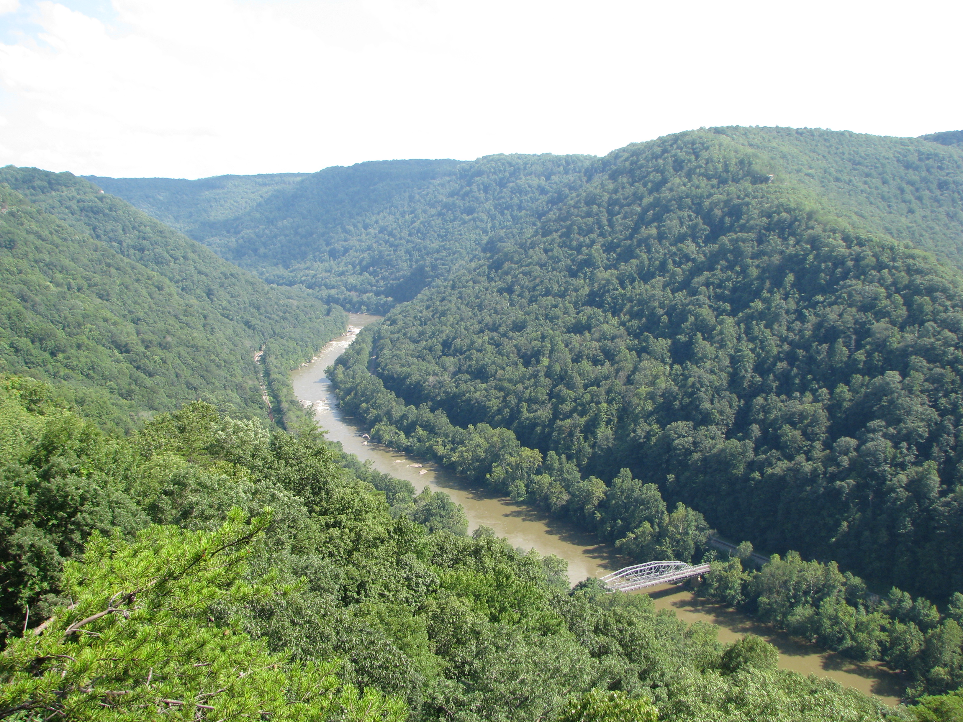
- Fayette: The New River Gorge; Cathedral Falls; More Ancient Rivers
- Gilmer: Cut the Corner
- Grant: County Counter Extraordinaire; Fairfax Stone
- Greenbrier
- Hampshire: Flat as a Pancake; County Counter Extraordinaire
- Hancock: Smallest county in West Virginia (83 square miles); Weirton
- Hardy: County Counter Extraordinaire
- Harrison
- Jackson: Sarvis Fork Bridge; Staats Mill Covered Bridge; Appalachian Distillery
- Jefferson: The First Steamboat?; What Coast are They Guarding, Exactly?; Circling the MDVAWV Tripoint; Appalachian Trail Counties; Rural Free Delivery; Mistaken Identity; What’s Almost Heaven?; Ghost Signs
- Kanawha: Largest county population in West Virginia (200,073 people in 2000 Census); West Virginia State Capitol Building; Tornado; Mistaken Identity; Back to the Lines; Not the Usual; East Bank; South Charleston
- Lewis: Jackson’s Mill; Four Towns, One Name
- Lincoln: Big Ugly
- Logan: No, Not That One; Low Clearance
- Marion: Tendril of Fairmont
- Marshall: Grave Creek Mound; West Virginia Penitentiary
- Mason: Even More Spooky; Tu-Endie-Wei State Park; Mothman; Fort Randolph
- McDowell
- Mercer: Princeton Railroad Museum; Bluefield on the Border
- Mineral: County Counter Extraordinaire; Digging for Minerals
- Mingo: Nolan Toll Bridge; Matewan; Appalachian Loop; Coal House; The Oddity of U.S. Route 52/119
- Monongalia: Don Knotts
- Monroe
- Morgan
- Nicholas
- Ohio: Public Street; West Virginia Independence Hall; Shoot & Eat; Wheeling Suspension Bridge
- Pendleton
- Pleasants
- Pocahontas
- Preston: Hovatter’s Wildlife Zoo; Fairfax Stone; Our Lady of the Pines; West Virginia Welcome Center
- Putnam: Inland Hurricane
- Raleigh
- Randolph: Largest county in West Virginia (1,040 square miles).
- Ritchie
- Roane
- Summers
- Taylor: Slices of Belgium
- Tucker: River Headwaters and Sources; Fairfax Stone
- Tyler
- Upshur
- Wayne
- Webster
- Wetzel
- Wirt: Smallest county population in West Virginia (5,873 people in 2000 Census).
- Wood: Fort Boreman; Quincy Hill Park
- Wyoming: Thanksgiving Towns
Quick Facts About West Virginia
- Location: Appalachian United States. See map above.
- Size(1): 24,038 square miles. West Virginia is the 41st largest state. The next larger state is South Carolina and the next smaller state is Maryland.
- Population(2): 1,790,832 people. West Virginia is the 39th most populous state. The next more populous state is Idaho and the next less populous state is Hawaii.
- Population Density: 74.5 people per square mile. West Virginia is the 29th most densely populated state. The next more densely populated state is Missouri and the next less densely populated state is Minnesota.
- Bordering States: West Virginia shares a border with 5 states: Pennsylvania; Ohio; Kentucky; Virginia and Maryland.
- Admission to the Union: June 20, 1863. West Virginia was the 35th state admitted to the Union, after Kansas and before Nevada.
- Capital: Charleston.
- Highest Point: 4,861 feet at Spruce Knob. See SummitPost’s Spruce Knob page.
- Lowest Point: 240 feet at the Potomac River in Jefferson County.
- Government website: WV.gov… Your West Virginia Directory!.
- Official Tourism website: West Virginia – Wild and Wonderful.
- Still not enough? See Wikipedia’s West Virginia page.
Sources:
(1) Wikipedia: List of U.S. states and territories by area. Land area only.
(2) Wikipedia: List of states and territories of the United States by population. Estimated population on July 1, 2019.
Leave a Reply