
There are 39 Counties in Washington – “The Evergreen State“
Also be sure to see my United States County Counting Page for the rest of the states.
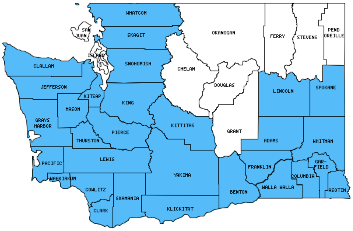
I have visited 30 Counties = 76.9% of Counties in Washington
Counties visited are colored-in; counties still needing to be visited are blank. Map created using Mob Rule.
Twelve Mile Circle Articles Featuring Places in Washington
Markers designate the Washington locations featured in Twelve Mile Circle articles.
Interesting Washington county trivia
There are 30 states that have a county named Washington. Washington State, however, is not one of them. There is a town called George, Washington though.
Counties in Washington
Below are the 39 counties in Washington. Although infrequent, counties sometimes do change so please let me know if any of this information is out of date and I will update it. Those counties that I have visited are highlighted in Red. Readers can also link to any articles manually in this section if the map isn’t working.
- Adams
- Asotin: You Complete Me; Green Belt Trail; Indian Timothy Bridge
- Benton: Will the County Seat Move?; Kennewick
- Chelan
- Clallam: Ultralineamentum (Neah Bay); West Coast Sunrises over Water; Proof!; Going Postal
- Clark: Fighting Words; Union Jack over the USA; Grotian Traditions, Thalwegs and Winner Take All
- Columbia: Patit Creek Campsite
- Cowlitz
- Douglas
- Ferry: What Crosses an Airport Runway?
- Franklin: Palouse Falls; Sacajawea State Park
- Garfield: Smallest county population in Washington (2,397 people in 2000 Census); Life is Hard
- Grant: Presidential Places; Grand Coulee Dam
- Grays Harbor: Where They Lived as Children
- Island
- Jefferson: It’s a Mystery to Me; More Geo-BREWities
- King: Largest county population in Washington (1,737,034 people in 2000 Census); Capitol Hill; Seattle Harbor; Pike Brewing Co.; Bothell: A Town’s Odd Streets and Enclaves; Practically Insignificant; Eruvin; Center of the Universe; Low Clearance; World’s Fair Towers; Woonerf; Largest Artificial Islands; Snoqualmie Falls; Gargantuan Garages; Checkerboarding; All In a Name
- Kitsap: Flip-Flopping
- Kittitas
- Klickitat
- Lewis
- Lincoln: Presidential Layers
- Mason
- Okanogan: Largest county in Washington (5,268 square miles); Grand Coulee Dam
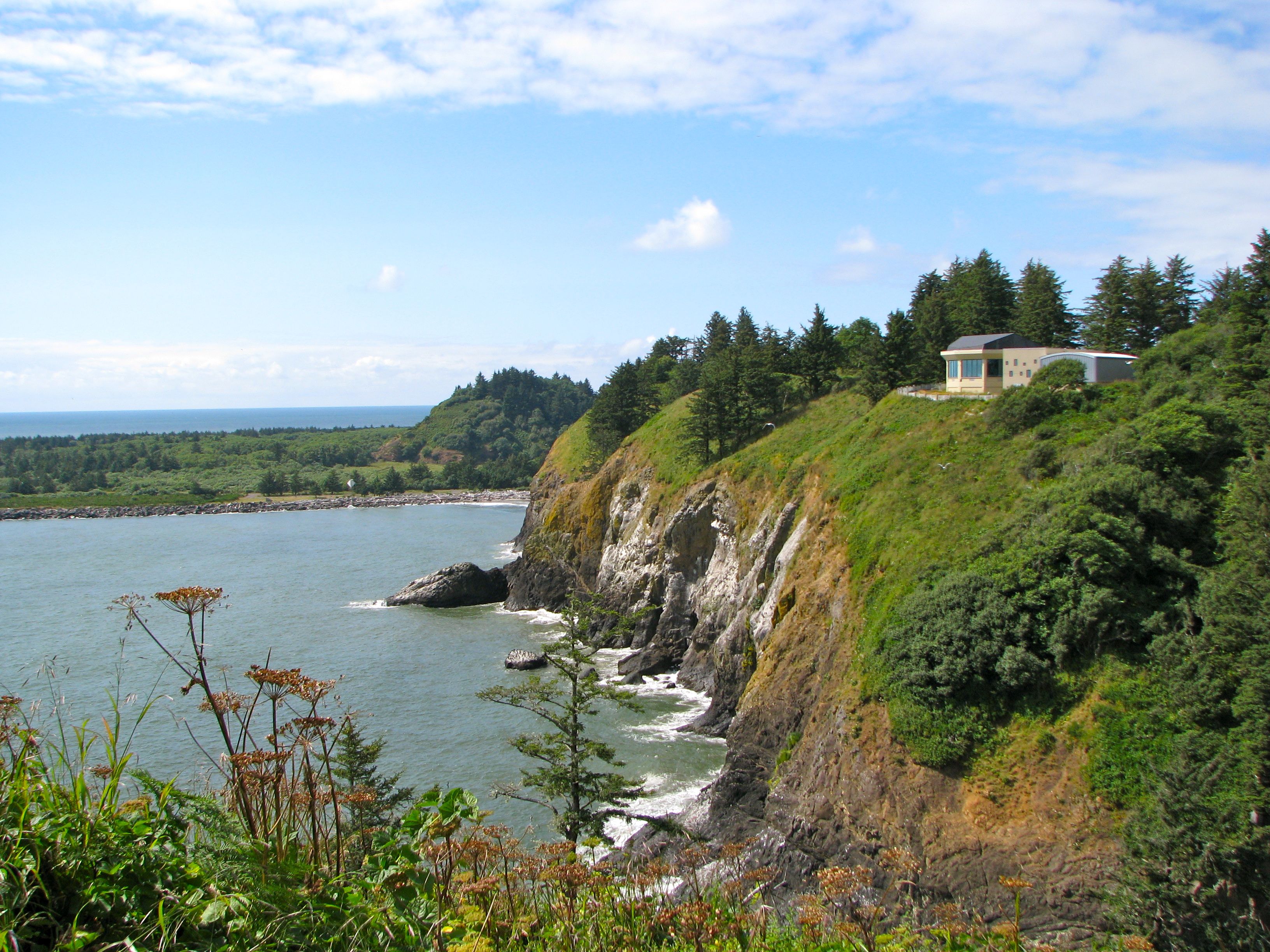
- Pacific: Cape Disappointment, Mouth of the Columbia River; The Final Leg
- Pend Oreille: You Complete Me
- Pierce: Over the Road; Three American Moscows; Fort Nisqually Historic Site; Bighorn Brewing Company; Harmon Brewery & Restaurant
- San Juan: Smallest county in Washington (175 square miles); English Camp – where the Union Jack over the USA; TGIF
- Skagit: Pull and Be Damned Point; La Conner; La Conner Brewing Company
- Skamania
- Snohomish: Iconic Views; Everett Sunset; Scuttlebutt Brewing Co.; Bothell: A Town’s Odd Streets and Enclaves
- Spokane: In the 4th of July Spirit
- Stevens
- Thurston: Rock Bands with Geographic Names; Fish Brewing Co. / Fishbowl Pub; Presidential Layers
- Wahkiakum: The Final Leg
- Walla Walla: Downtown Walla Walla; Frenchtown; Ice Harbor Lock & Dam; Iconic Views; Whitman Mission
- Whatcom: American Border Peak; Going Postal; Damfino; Stranded by an International Border; Orchard Street Brewing Co.
- Whitman: Kamiak Butte; Palouse Falls
- Yakima
Quick Facts About Washington
- Location: Pacific Northwest United States. See map above.
- Size(1): 66,456 square miles. Washington is the 20th largest state. The next larger state is Oklahoma and the next smaller state is Georgia.
- Population(2): 7,535,591 people. Washington is the 13th most populous state. The next more populous state is Virginia and the next less populous state is Arizona.
- Population Density: 113.4 people per square mile. Washington is the 22nd most densely populated state. The next more densely populated state is New Hampshire and the next less densely populated state is Kentucky.
- Bordering States: Washington shares a border with 2 states: Oregon and Idaho.
- Admission to the Union: November 11, 1889. Washington was the 42nd state admitted to the Union, after Montana and before Idaho.
- Capital: Olympia.
- Highest Point: 14,411 feet at Mount Rainier. See SummitPost’s Mount Rainier page.
- Lowest Point: Sea Level at the Pacific Ocean.
- Government website: Access Washington – Official State Government Website.
- Official Tourism website: Experience Washington.
- Still not enough? See Wikipedia’s Washington page.
Sources:
(1) Wikipedia: List of U.S. states and territories by area. Land area only.
(2) Wikipedia: List of states and territories of the United States by population. Estimated population on July 1, 2019.
Leave a Reply