
There are 3 Counties in Delaware – “The First State“
Also be sure to see my United States County Counting Page for the rest of the states.
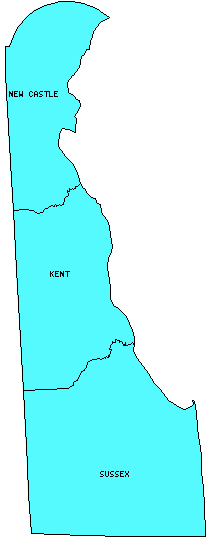
I have visited 3 Counties = 100% of Counties in Delaware
Counties visited are colored-in; counties still needing to be visited are blank. Map created using Mob Rule.
Twelve Mile Circle Articles Featuring Places in Delaware
Markers designate the Delaware locations featured in Twelve Mile Circle articles.
Counties in Delaware
Below are the 3 counties in Delaware. Although infrequent, counties sometimes do change so please let me know if any of this information is out of date and I will update it. Those counties that I have visited are highlighted in Red. Readers can also link to any articles manually in this section if the map isn’t working.
- Kent: Smallest county population in Delaware (126,697 people in 2000 Census); Adjacent Counties, Same Name, Different States.
- New Castle: Smallest county in Delaware (426 square miles) and largest county population in Delaware (500,265 people in 2000 Census); Brandywine Brewing Co. (Wilmington); Delaware’s Border Tax; Delaware Trifecta; Fort Delaware State Park (Delaware City); Highpoint to Lowpoint; Iron Hill Brewery (Newark); Lighthouse Keeper; Locomotive Engineer for a Day; Nestling Newark; New Counties; Pre-Nazi Swastikas; The Twelve Mile Circle, Part I; The Twelve Mile Circle, Part II; State Nickname Streets
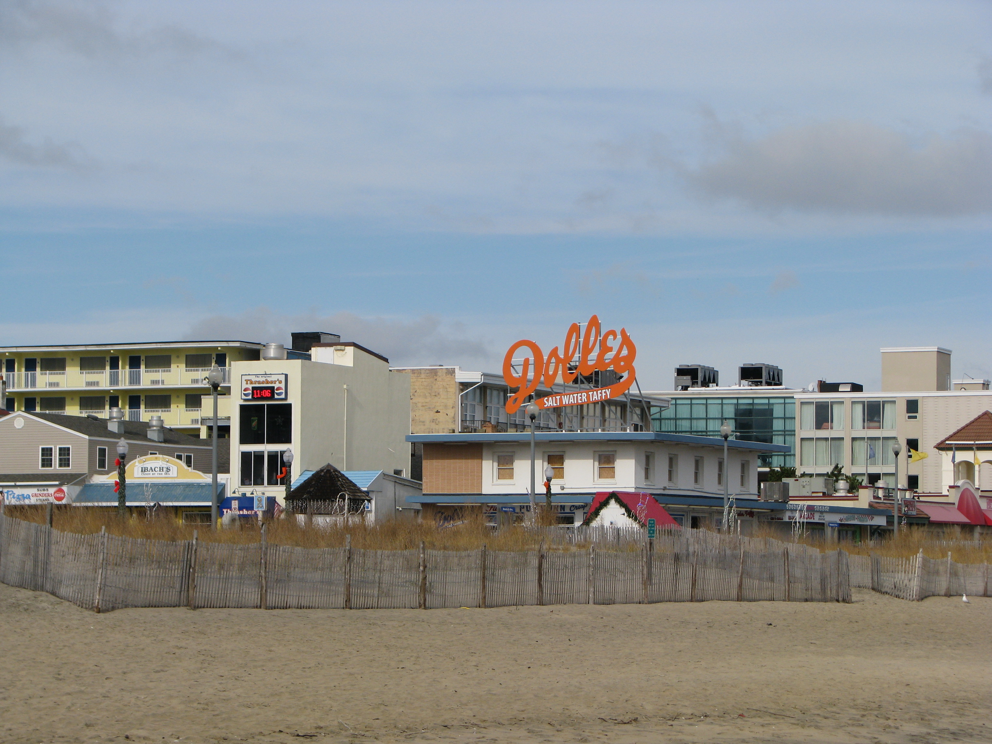
- Sussex: Largest county in Delaware (938 square miles); 12 Mile Circ… no wait, 16!; Rehoboth Beach in Winter; Dogfish Head Brewery (Rehoboth Beach); Fenwick Island Lighthouse & Transpeninsular Line; Mardela to Delmar; New Arrivals; So Hot, So Cold; Delaware Breakwater East End Light; Harbor of Refuge Light
Interesting Delaware County Trivia
- If someone wanted to visit every county in a state, Delaware would probably be the easiest. There are only 3 counties in Delaware, the fewest of any state, and they are all neatly aligned, north – south. A short drive down U.S. Route 13 will take care of this in no time.
- Most of the New Castle County Delaware’s border with Pennsylvania is in the shape of an exact arc. This is quite remarkable. Generally borders either follow natural geographic features such as rivers or ridgelines, or they follow straight lines that have been surveyed. The border cuts through lots of people’s houses and back yards. It makes driving around northern Delaware all that more interesting.
- Part of the Mason-Dixon line runs along Delaware’s western border with Maryland. Symbolically this line marked the traditional separation between north and south in the United States. In this portion though, “north” is actually east and “south” is west.
Quick Facts About Delaware
- Location: Mid Atlantic United States. See map above.
- Size(1): 1,949 square miles. Delaware is the 49th largest state. The next larger state is Connecticut and the next smaller state is Rhode Island. Only Rhode Island is smaller than Delaware.
- Population(2): 967,171 people. Delaware is the 45th most populous state. The next more populous state is Rhode Island and the next less populous state is South Dakota.
- Population Density: 432 people per square mile. Delaware is the 6th most densely populated state. The next more densely populated state is Maryland and the next less densely populated state is New York. So even though Delaware is physically small, it houses a lot of people in its available space.
- Bordering States: Delaware shares a border with 3 states: New Jersey, Pennsylvania and Maryland.
- Admission to the Union: December 7, 1787. Delaware was one of the original 13 states, and was the first state to ratify the Constitution, beating out Pennsylvania by less than a week. For this reason it is often called “The First State.”
- Capital: Dover.
- Highest Point: 448 feet at Ebright Azimuth. See SummitPost’s Ebright Azimuth page. As SummitPost notes on their website, “It is nothing extremely exciting except for the fact that it is the highest point in the state of Delaware… The actual highpoint is said to be located in a nearby trailer park about 50 feet from the sign.“
- Lowest Point: Sea level; Atlantic Ocean.
- Government website: Delaware.gov — The Official Website of the First State.
- Official Tourism website: Visit Delaware.
- Still not enough? See Wikipedia’s Delaware page.
Sources:
(1) Wikipedia: List of U.S. states and territories by area. Land area only.
(2) Wikipedia: List of states and territories of the United States by population. Estimated population on July 1, 2019.
Leave a Reply