
Ireland designated a tourist route along its western edge between Donegal and Cork as the “Wild Atlantic Way.” Distinctive signs including a logo of what appeared to be something like ww — although stretched out farther like waves — marking the path. We didn’t follow the route on purpose although we encountered its road signs often as we explored peninsulas and islands where water met land with spectacular results.
Achill Island
We came upon Achill Island (map) by happenstance. The runner of the family wanted to race in Ireland. She discovered through some Internet sleuthing that the Achill Half Marathon would take place during our visit. Otherwise I’m sure we wouldn’t have learned about Achill. We would have missed an opportunity to experience a pretty awesome place.
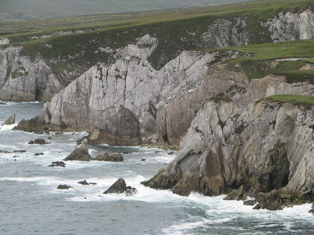
It almost seems like I’m giving away a secret, and I’m feeling a little guilty simply revealing the existence of Achill Island even to the trusty members of the Twelve Mile Circle audience. The views were spectacular, as dramatic as any seacoast we saw anywhere in Ireland including those famous places featured prominently in the tourist guides. However we never felt crowded on Achill. There were a handful of B&B’s and small hotels along with a few summer cottages spread amongst a sparse permanent population. We drove to scenic overlooks, hiking along ridges and through historic sites, hardly ever encountering another person.

We stayed in Keel, with direct access to Keel Beach (map) literally a walk across the back yard. Just look at this Blue Flag beach! Anywhere else in the world we’d see high-rise condos and a hundred times more people, with that beach and that backdrop. I hated leaving Achill Island, although grateful to encounter it by blind luck.
Don’t tell anybody. We’ll make this our little secret.
Dingle Peninsula

Farther south, we drove along the full extent of the southern edge of the Dingle Peninsula. I’m saving other stories from the peninsula for different installments so I won’t go into a lot of detail.
The scenery was also impressive. We began to experience the tour buses, though. Getting stuck behind those buses as they slowed to a crawl on serpentine roads became frustrating and tiresome after awhile. It wasn’t a lot of fun staring at the back end of a bus instead of mountains and ocean. We stopped frequently at overlooks to let the buses move off into the distance, savored the terrain and returned to the route.
Ring of Kerry

Of course we made the obligatory pilgrimage to the next peninsula farther south, to the renowned Ring of Kerry. It’s famous and for well-deserved reasons; for picturesque seacoasts, hillsides and inland lakes. It also attracted an order of magnitude more tourists than Dingle, again with the buses that lumbered around the ring in a constant anticlockwise procession. We understood that situation in advance and planned around it.
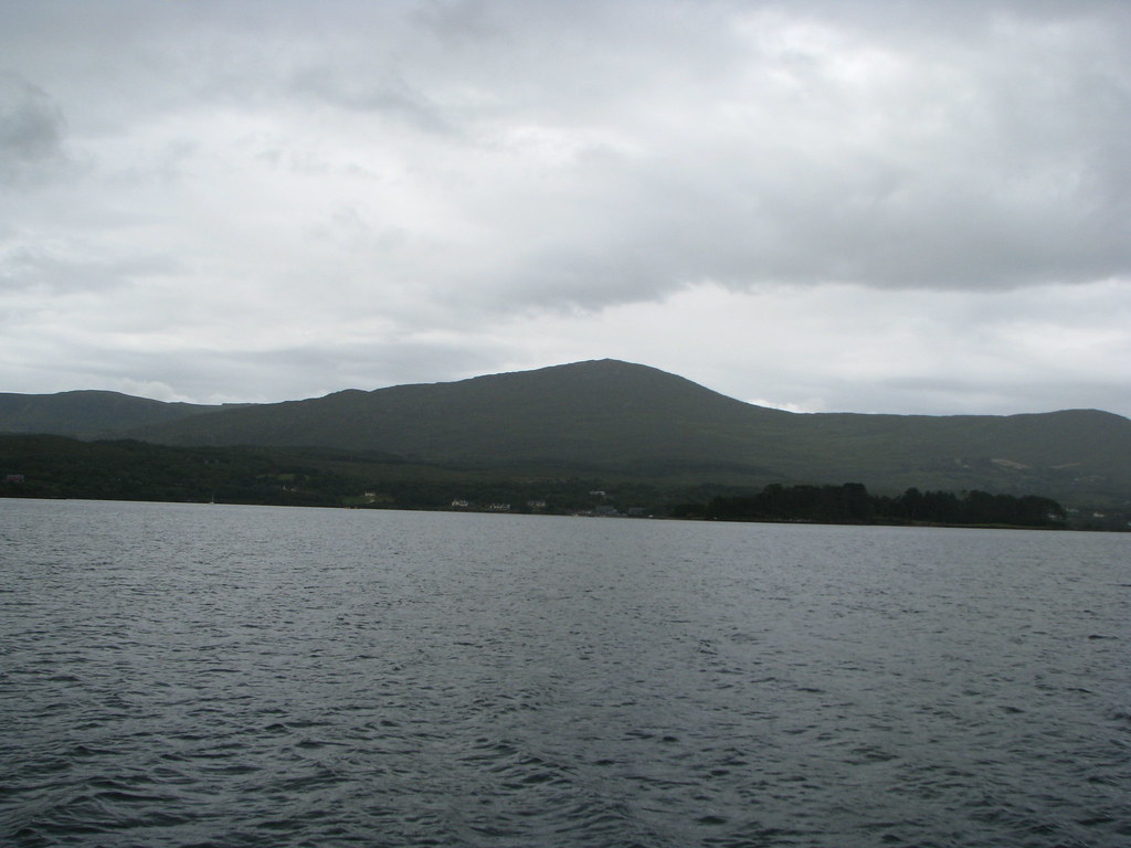
We drove the northern segment from Killarney to Portmagee (map) early in the morning before the buses began their daily circuit of tourists who preferred to leave the driving to the professionals. I could sympathize with that. The roads were narrow, winding and a little scary at times when trucks passed in the opposite direction on hairpin curves. That never deterred me though. We had to catch a boat heading to the island of Skellig Michael so the plan worked out perfectly for us. We also experienced the incredible scenery of Killarney National Park on those same scary roads on a different day, going between Kenmare and Killarney (map).
I didn’t complete the loop, however, having to forgo the southern segment because of our over-packed itinerary. We saw a lot of it from the sea and figured that was good enough.
Beara Peninsula
Beara was the next peninsula in line to the south. People told us the Ring of Beara rivaled the Ring of Kerry, without the crowds. That one will have to wait until the next trip though. We saw it only from the sea and only from a distance.
That gave me another good reason to return someday.
Leave a Reply