
I couldn’t change my personality quirks even though I changed my location. In fact, a few peculiarities rooted in my mild compulsion to count and collect things seemed to be enhanced in this kind of situation. I searched earnestly for attractions aligning with those interests and pursued a means to incorporate them into the larger itinerary. They didn’t dominate the trip although they always lurked below the surface.
Several lists grew.
Valentia Island Ferry
The Valentia Island Ferry (map) represented a couple of new achievements for me. It was my first international car ferry ride and the first time I’ve entered a ferry while driving on the left side of the road.
I love ferries and I enjoyed the brief 800 metre ride from Knightstown on Valentia Island to Renard Point, Cahersiveen on the mainland. I wondered about its true purpose, though. A bridge at the other end of Valentia Island connected it to the mainland at Portmagee. My rough calculation demonstrated that this seaborne route saved maybe 24 kilometres at the most optimistic end of the spectrum, and only for the two hundred residents of Knightstown. Everyone else saved less. That didn’t seem cost effective.
The explanation dawned on me as I reviewed the ferry’s Facebook page. It ceased operations during the colder months, roughly October through March. Thus, the ferry didn’t exist solely for Island residents although it certainly added a level of convenience. Rather, it served more as a way of bleeding tourists away from the Ring of Kerry and onto Valentia Island where they would hopefully stay at a local Bed and Breakfast, stop at a pub, or stroll along the strand of shops in Knightstown, leaving a stream of Euros behind in their wake. Well done, Valentia Island.
I added another ferry to my Personal Ferry Travelogues.
Torc Waterfall
I consider my waterfall list to be somewhat less compulsive than most of the other things I track. I won’t seek them out exclusively, although I’ll gladly stop if one happens to be nearby and doesn’t involve a hassle. Torc Waterfall met those parameters perfectly. I could access it from a car park sitting directly along the Ring of Kerry in Killarney National Park, then take an easy walk lightly uphill for about 300 metres (map). We snagged the only available parking spot in the small lot during the height of Summer tourist season. It felt like it must have been preordained.
A healthy stream cascaded 20 metres down several ledges to the base of Torc Mountain. We paused for awhile to ponder its majesty and then took a path to the top of the waterfall for a little extra perspective. Then we returned to the car park and walked across the road to the jaunting car stand. We hired a driver to guide us through the grounds of Muckross House in a horse-drawn carriage. That was a great way to finish the afternoon.
The Waterfall Collection increased by one.
Breweries

Longtime 12MC readers already guessed that I’d focus some love and attention on breweries and brewpubs, however there weren’t as many of those available in Ireland as one might expect. The microbrewery concept seemed to be getting a decent foothold, although it remained years behind what I’ve experienced elsewhere. Dingle Brewing fell directly on our path and we stopped for a self-guided tour of their small facility in a former creamery building (map). Dingle Brewing produced only a single beer as of our visit, Tom Crean’s lager, and we enjoyed a pint at their outdoor biergarten.

The Smithwick’s brand originated at the St. Francis Abbey Brewery in Kilkenny (map), although it’s part of a brewery conglomerate today and is made elsewhere too. Brewery tours were suspended during our visit because of renovations — as I’d learned ahead of time when conducting my research — so we hadn’t gone out of our way and nobody felt disappointed. The brewery walk-by happened coincidentally while we strolled between Kilkenny Castle and St. Canice’s Cathedral. It didn’t “count” as a brewery visit although I can never resist taking a photograph of anything breweriana.
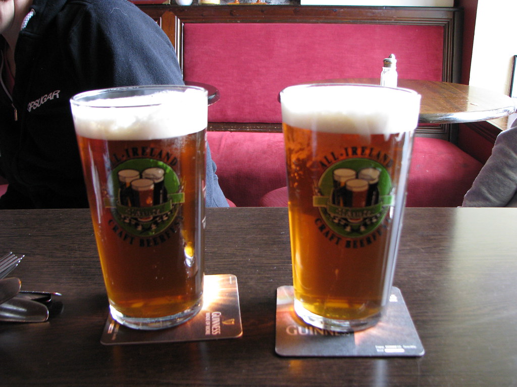
I also sampled several beers in traditional pub settings, such as these pints of cask ale from West Kerry Brewing.
Someone will probably ask so I’ll go ahead and answer preemptively: No, I didn’t visit the Guinness brewery. First, actually foremost, I don’t like crowds and we drove away from Dublin as soon as the plane landed. That made it impossible to visit Guinness. Second, I’m not a fan of doing what everyone else does just because everyone else does it. I didn’t visit Guinness, I never got near the Blarney Stone and I approached the Ring of Kerry on my own terms. That’s how I roll. I keep away from crowds and I count stuff.
My brewery visits increased by one, plus a near miss and some nice tries.
Maybe only my lighthouse list didn’t grow. I had some candidates in mind and the scheduling never seemed to work out. Despite that, I think I scored well on my various lists overall.
Leave a Reply