
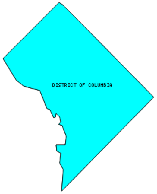
There are No Counties in the District of Columbia – “End Taxation Without Representation“
The District of Columbia is considered both a county-equivalent and a state-equivalent administrative unit by the United States Bureau of the Census
Also be sure to see my United States County Counting Page for all of the states.
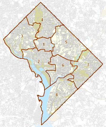
I have visited 4 Quadrants / 8 Wards = 100% of Quadrants / Wards in the District of Columbia
Map created using Mob Rule.
Twelve Mile Circle Articles Featuring Places in the District of Columbia
Markers designate District of Columbia locations featured in Twelve Mile Circle articles.
Interesting District of Columbia geography trivia
- The District of Columbia was originally laid-out as a square with 10 mile sides, for a total of 100 square miles. However, it is only 61 square miles now. The other 39 square miles were returned to Virginia in 1847, forming what is today Arlington County and much of the City of Alexandria.
- An individual can stand in all four quadrants of the District simultaneously by visiting the center of the dome room in the United States Capitol building.
- Because of its unique Constitutional status, the District of Columbia does not have voting representation in Congress. As a symbol of protest, Washington DC license plates feature the motto “End Taxation without Representation.”
Possible Counties if the District of Columbia were to Become a State
Nobody knows for certain what country structure would exist in the District of Columbia if it were to become a state. There are two leading candidates though. First, the area could be divided into its established quadrants in which case there would be 4 counties. Alternately it could be divided into its existing Ward structure in which case there would be eight counties. Those Quadrants / Wards that I’ve visited are in red. Readers can also link to any articles manually in this section if the map isn’t working.
Quadrants
![USGS, modified by User:Postdlf [Public domain]](https://commons.wikimedia.org/wiki/File:DC_satellite_image.jpg)
- Northwest: Mid-Atlantic Beer Festival; 7 ft. Clearance; Ted’s Last Stand; White House Christmas Tour; Follow the Letter; Playing Both Sides of the Street; Three Stars; Tigers; Four Modes of Travel; Lions and Eagles; Presidential Deaths; American Bison; Secret Bunker; National Geographic Museum; American Meridian; Disestablished National Parks; Octagons; Spike House for Sale; Starting from Zero; Theodore Roosevelt Island; National Zoo Bird House Flight Cage; Capitol City Brewing Company – Downtown; District Chophouse & Brewery; Dock Street Brewing Co.; Gordon Biersch Brewing Company; John Harvard’s Brew House; A Precious Tip; Spike House for Sale; Charting the Split; Can’t Get Enough of Kossuth; On the Steps; Reversible; Great Scott; Osage Orange
- Northeast: Highest Numbered Street; DC Brau; Chocolate City Beer; Virtual Traffic Circle; Capitol City Brewing Company – Capitol Hill; Charting the Split; Can’t Get Enough of Kossuth; On the Steps
- Southwest: Sylvan Theater; Frisbee Dogs; Arts of War; The Danger of a Small Sample Size; It Enters then Exits; Monumental Ride; Smithsonian National Air and Space Museum [VIDEO]; Wilson Medalion; Charting the Split; Can’t Get Enough of Kossuth; On the Steps
- Southeast: Bolling AFB; Thomas O’Connor Residence – 1924; Library of Congress Geography and Map Division; A Secret Revealed; Charting the Split; Can’t Get Enough of Kossuth; On the Steps
Wards
- Ward 1
- Ward 2: Mid-Atlantic Beer Festival; Sylvan Theater; Frisbee Dogs; Ted’s Last Stand; White House Christmas Tour; Presidential Deaths; American Bison; Secret Bunker; National Geographic Museum; A Precious Tip; American Meridian; Arts of War; Disestablished National Parks; Octagons; Starting from Zero; Theodore Roosevelt Island; Smithsonian National Air and Space Museum [VIDEO]; Capitol City Brewing Company – Downtown; Dock Street Brewing Co.; Gordon Biersch Brewing Company; John Harvard’s Brew House; Monumental Ride; On the Steps; Spike House for Sale; Great Scott
- Ward 3: 7 ft. Clearance; Four Modes of Travel; Lions and Eagles; National Zoo Bird House Flight Cage; Osage Orange; Washington, DC Highpoint Dedication
- Ward 4: Follow the Letter; Playing Both Sides of the Street; Tigers; Three Stars
- Ward 5: DC Brau; Chocolate City Beer; Virtual Traffic Circle
- Ward 6: Thomas O’Connor Residence – 1924; Library of Congress Geography and Map Division; Capitol City Brewing Company – Capitol Hill; District Chophouse & Brewery; Spike House for Salel A Secret Revealed; The Danger of a Small Sample Size; Charting the Split; Can’t Get Enough of Kossuth; On the Steps; Reversible
- Ward 7: Highest Numbered Street
- Ward 8: Bolling AFB; It Enters then Exits; Wilson Medalion
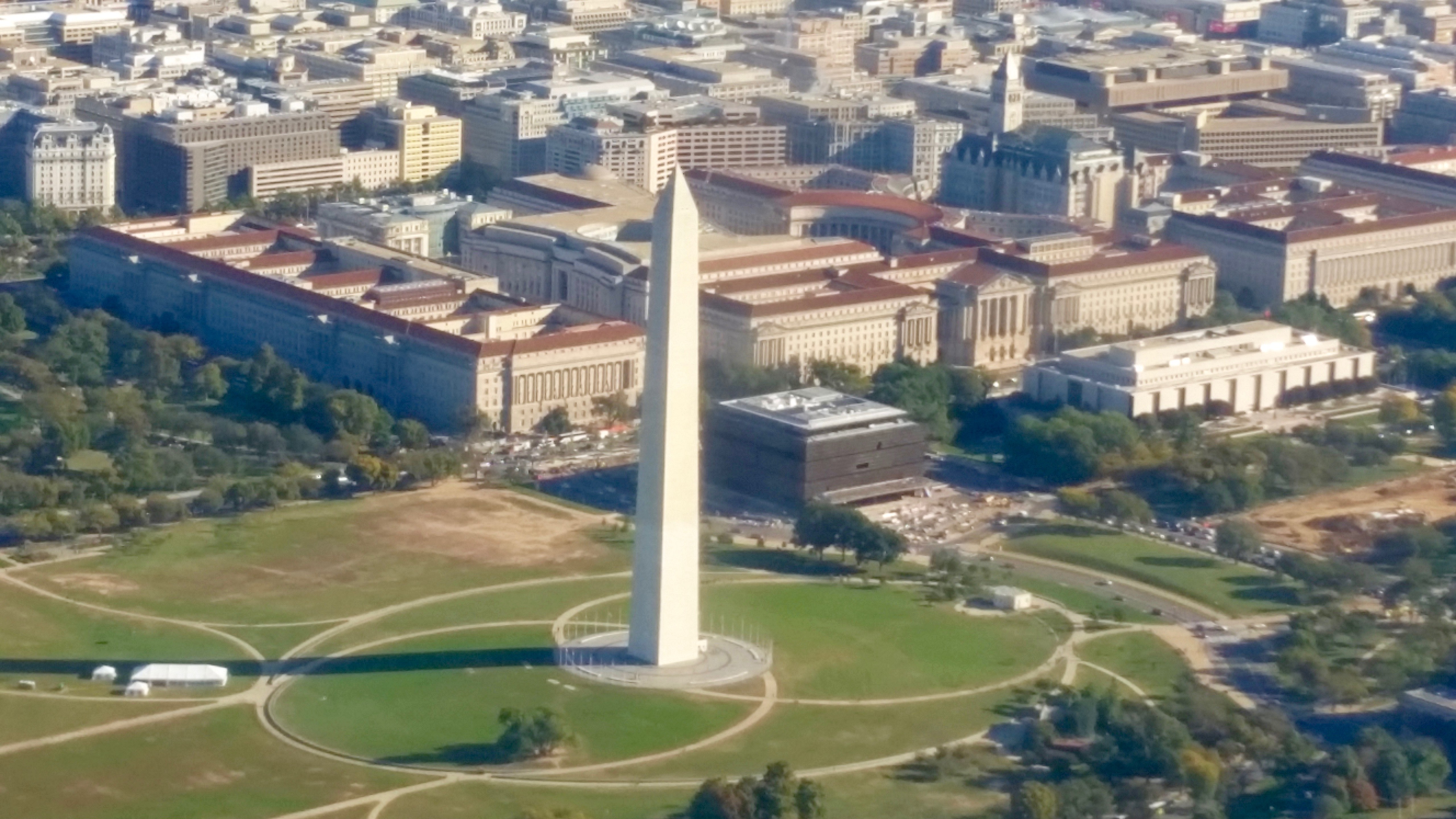
Quick Facts About the District of Columbia
- Location: Mid Atlantic United States. See map above.
- Size(1): 61 square miles. If the District of Columbia was a state it would be by far the smallest. Rhode Island, the smallest current state, is 17 time larger than the District of Columbia. Alaska, the largest state, is more than 9,000 times larger than the District of Columbia!
- Population(2): 705,749 people. If the District of Columbia was a state it would have the third lowest population. The next more populous state would be Alaska and the next less populous state would be Vermont.
- Population Density: 11,750 people per square mile. If the District of Columbia was a state it would have by far the greatest population density due to its urban environment. The next less densely populated state would be New Jersey.
- Bordering States: If the District of Columbia was a state it would share a border with 2 states: Maryland and Virginia.
- Admission to the Union: Not yet, but someday if the D.C. Statehood movement ever succeeds.
- Capital: Although the District of Columbia serves as the capital of the United States, there is not a separate capital for the District of Columbia itself.
- Highest Point: 409 feet at Fort Reno. See SummitPost’s Fort Reno page.
- Lowest Point: 1 foot at the Potomac River.
- Government website: DC.gov .
- Official Tourism website: Official Tourism Site of Washington, DC.
- Still not enough? See Wikipedia’s District of Columbia page.
Sources:
(1) Wikipedia: List of U.S. states and territories by area. Land area only.
(2) Wikipedia: List of states and territories of the United States by population. Estimated population on July 1, 2019.
Leave a Reply