
Next we began our trek to Monteverde, into Costa Rica’s famed Cloud Forest. This is one of the nation’s smallest microclimates and one of its most intriguing. High in the mountains, a thick blanket of fog frequently envelopes the landscape and creates a gentile moisture. A steady drip supports thick vegetation, lush mosses and more biodiversity than just about anywhere else in the nation. Although it’s abundantly wet like a rain forest it’s also distinctly different.
But like everywhere in Costa Rica we still had to endure the challenge of actually getting there. Most of it was pretty straightforward albeit with the usual travel issues. However the last portion proved the most challenging, with the final 33 kilometres (20 miles) taking about an hour. And that was using the good road.
We were coming from Tamarindo. The straightest route involves a gravel road for the final segment and Waze or Google will suggest that as the default. I’d done enough research to find another option. It might be great for the locals but it’s not wonderful for tourists in sedans especially during the rainy season. Rather, we swung further south to Route 606, taking the same road someone traveling up from San José would use. It twisted all around as it climbed ever higher and slowed us to a crawl for numerous car-swallowing potholes. So I can’t even imagine what we might have encountered on the unpaved road up the mountain.
Santa Elena

Costa Rica is divided into Provinces, then Cantons and finally into Districts. Monteverde is a Canton and it covers the preponderance of the cloud forest area, with only a few settlements within it. The largest one is Santa Elena and it serves as a tourist gateway to the many natural attractions nearby (map). The clouds and elevation make it feel like it’s suspended in eternal springtime even though it sits at a tropical latitude.
It’s an ideal hub with lots of restaurants, boutique hotels, shops and ecotourism options for the surrounding area. There are also other amenities like a proper grocery store. Topography forces the roads through town into corkscrews and a normal grid pattern wouldn’t work here. Unfortunately it also complicates parking. So there’s plenty of adventure around every corner whether venturing into Monteverde or simply trying to make it through town.
Tripoint
Costa Rica’s seven provinces fit into a country about the size of West Virginia so the provinces are decently sized. Three of them –Guanacaste; Puntarenas and Alajuela — come together to form a tripoint in the vicinity of Monteverde (map).
It’s less than five kilometres away from Santa Elena. Even better, a road goes directly to the tripoint where there are a couple of residences and some communications towers. I’d totally do this if I had the right vehicle, but I wasn’t going to try it with our rental car. I’m sure it barely registered as a rutted mountain path. Oddly, I couldn’t find anything about visiting the tripoint on the Internet so I guess it’s not a big deal to the locals who live near nearby.
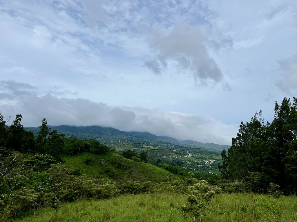
However we did cross provincial boundaries pretty regularly just by driving around to attractions, particularly between Guanacaste and Puntarenas. In fact, I took the photo above from the house we rented for our stay in the cloud forest. The foreground is Guanacaste Province and the background is Puntarenas Province.
Sky Adventures
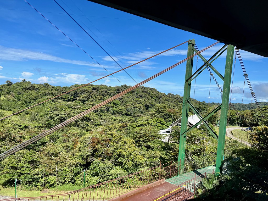
On previous trips we learned that the kids really enjoyed zip lines. I like them too and Monteverde offered some great opportunities. We selected Sky Adventures Monteverde just north of Santa Elena (map). I don’t have a lot of photos because we were on zip lines of course. However, I did get this one shot from the base camp before we started our adventure.
We were in the cloud forest during the rainy season, yet notice the blue skies. Well, this didn’t last long. We rode a tram to the top of the mountain for the first of a series of ever-descending zip lines. Way up there, unlike down below, a heavy fog covered the peak. It felt otherworldly zipping through clouds and a heavy mist. Visibility improved as we descended with each successive zip until we returned to sunshine and warmth.
Monteverde Brewing Co.
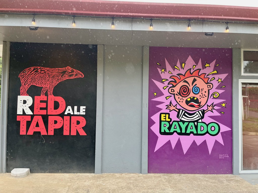
There were no breweries in La Fortuna during the earlier part of our trip and yet we found two in Monteverde. That seemed odd since both seemed to catered to a similar set of tourists and more people go to La Fortuna. It didn’t really concern me though because I’d already visited a bunch of breweries elsewhere by that point to add to my list. We stopped first for dinner at Monteverde Brewing Company which I considered a particularly nice spot on my birthday.
So I’ve mentioned how driving in Costa Rica is an adventure. Another aspect is the lack of precise street addresses which complicates finding places. Locations are often listed according to the closest landmark, as with the brewery: “325 meters southwest of the Hotel Miramontes.”
Belmar Craft Brewery
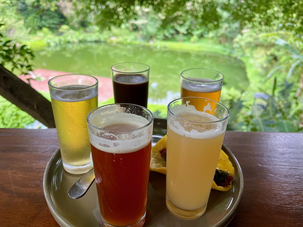
One more brewery sat at a rather nice lodging on the outskirts of Santa Elena. The Belmar Hotel and Craft Brewery occupied a gorgeously landscaped setting along a hillside. The brewery taproom sat in a separate building along a pond so pretty I felt like it was an arboretum. The generous beer flight also included a snack for good measure. This was certainly a lot more fancy than my usual brewery experience and I quite enjoyed it.
Articles in the Costa Rica Series
- Intentions and Observations
- In the Shadow of the Volcano
- Exploring La Fortuna
- Brew Day
- Relaxing in Tamarindo
- Beyond the Beach
- On To Monteverde
- Completing the Circuit
See Also: The Complete Photo Album on Flickr
Leave a Reply