
Davis County, Utah, USA (July 2011)
Look at a map of the Great Salt Lake. It’s nearly cleaved through its eastern third by a mountain range, some of which is submerged below the waters. The northern section is a peninsula, the Promontory Point. The southern section is an island, Antelope Island, although it sometimes joins the mainland when the lake receded to exceptionally low levels. It’s a large island — the largest of any in the Great Salt Lake, some 42 square miles (15 miles at its longest; 5 miles at its widest). Antelope Island reaches nearly 2,500 feet above the lake surface along the highest point of its prominent ridge, with a total elevation of more than 6,500 feet at Frary Peak.
It’s also interesting that Antelope Island falls completely within Davis County and composes a good percentage of its land (map), however, not a single person lives there permanently. The entire island is owned by the State of Utah and is preserved as a public park.
Getting There

It’s not particularly difficult to get to Antelope Island. Take exit 332 west from Interstate 15 on a straight-shot through the town of Syracuse. Those first five miles are pretty unattractive, a tangle of traffic lights and strip shopping centers through typical suburbia. This changes dramatically at the park entrance where one begins a drive along a causeway extending several miles across the Great Salt Lake to the island itself.
This was a great drive with amazing scenery but watch out for the sea gulls. They seem to like to hang out on the causeway and aren’t all that great about getting out of the way as cars whiz past them. We didn’t hit any but we noticed a few that failed to appreciate the physics of hurling motor vehicles. Their remains could be seen scattered at various points along the roadway.
Arriving
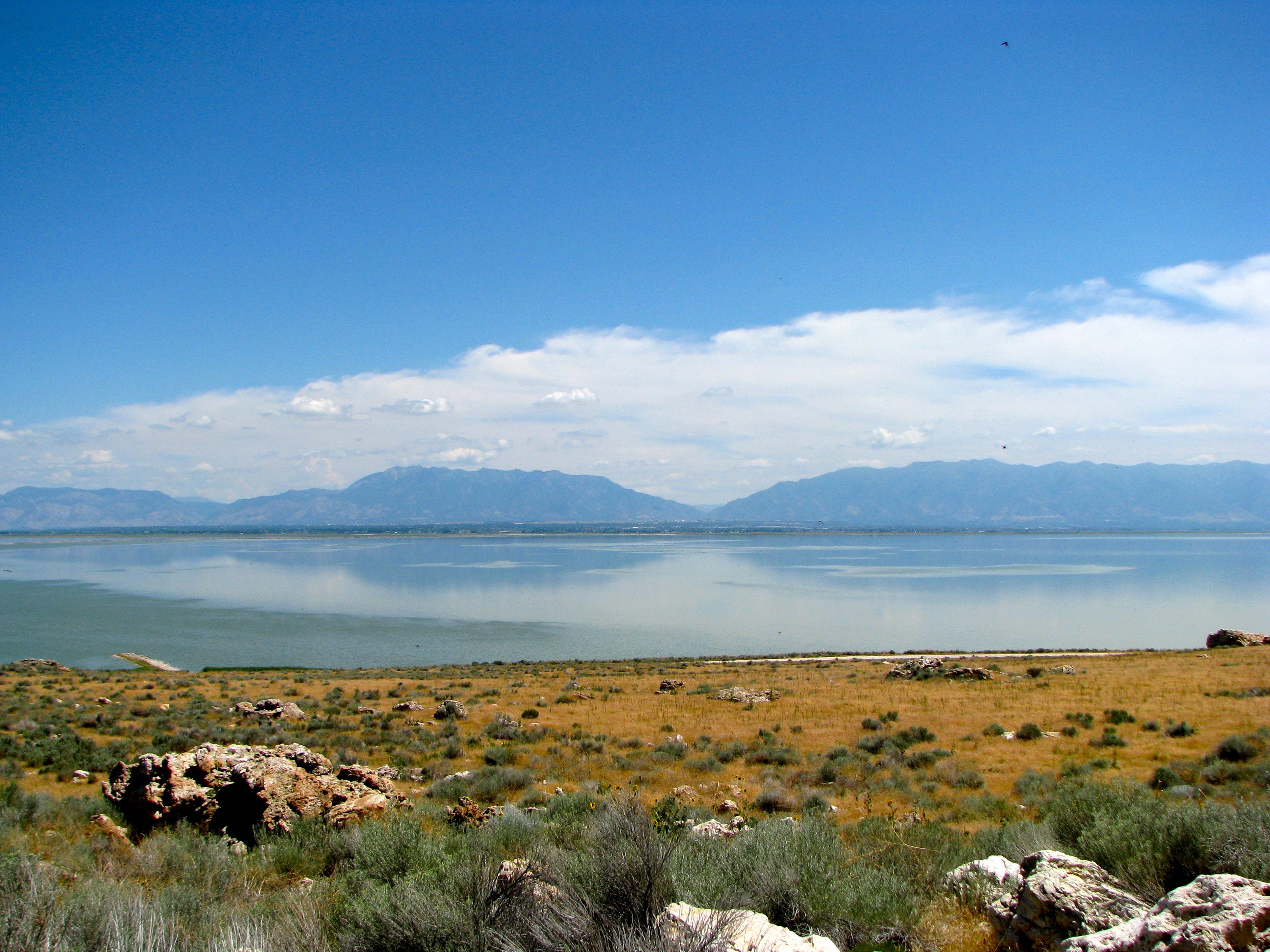
We arrived around noon with a distinct plan to have a picnic at the northern tip of Antelope Island before venturing on to points further south. There are a number of picnic areas within this general area. We found a nice table protected from the harsh sun by a pavilion, which actually felt downright comfortable with a gentle breeze blowing across the lake. In the photograph above, Bridger Bay can be seen in the distance to the left (notice the sand). The ridge straight-back is Buffalo Point.
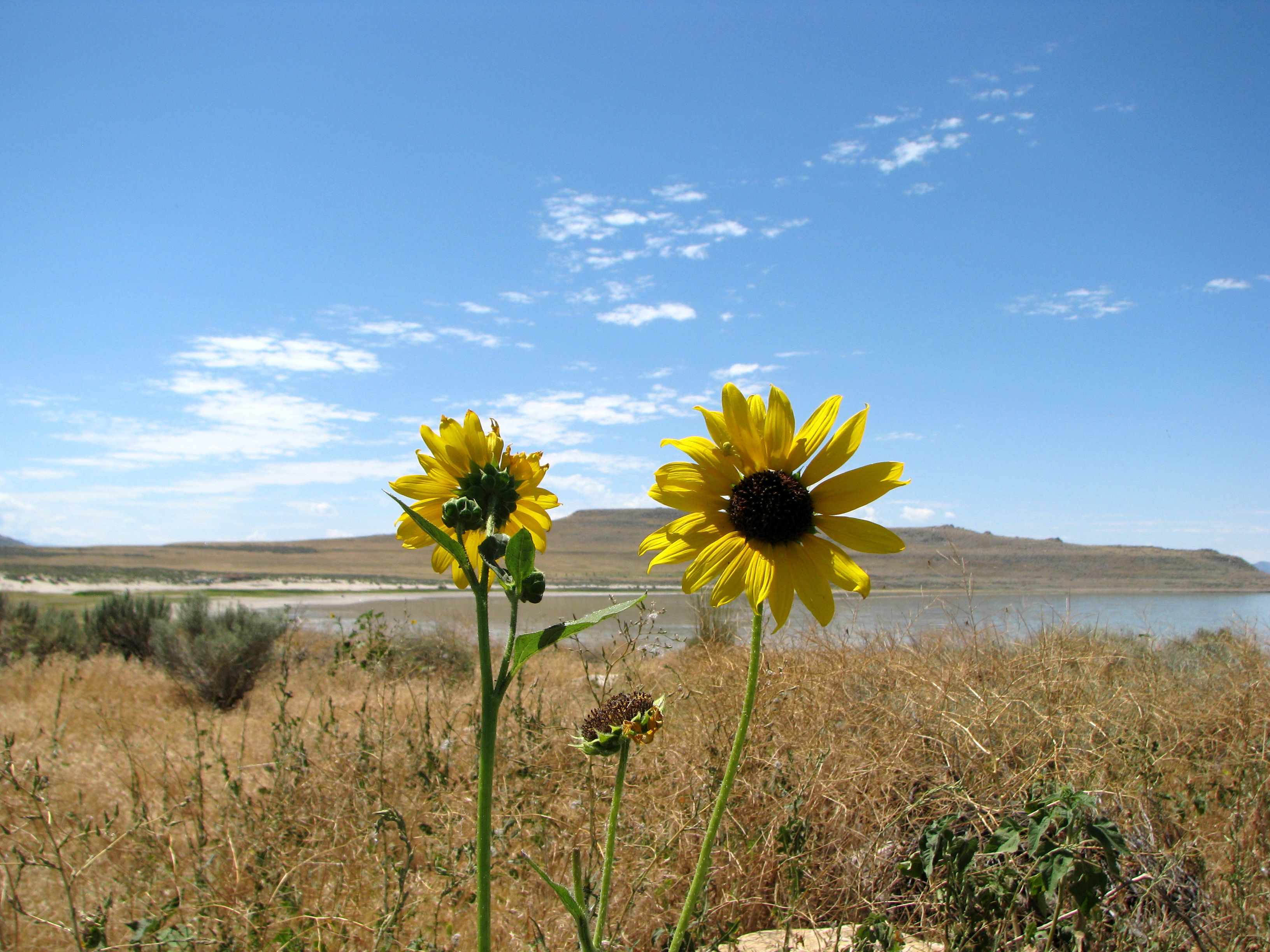
Make no mistake, this is the desert. It’s hot and it’s parched. There is beauty in the desert, for example the rich scenery and wildflowers above, but its an unforgiving place for those who come unprepared. There are also all sorts of creepy, crawly critters living in the brush including huge numbers of spiders of unimaginable size. Bear that in mind if those kinds of things bother you.
Hiking… or not
There are trails on the island — one can see them outlined on the ridges in the distance — but we did not have an opportunity to hike any of them due to our time constraints. I imagine they would be difficult, not so much for the elevation gain although that would certainly be a factor, but for the fact that there’s hardly a tree anywhere to be seen.
The only hope of shade would be to coordinate a hike with certain times of the day where the ridge might provide shade, seeing how we were there during the middle of the summer. There was no way we would attempt something like this at midday in July.
That’s fine. There are still plenty of other things to do on Antelope Island, albeit requiring transport by automobile rather than by foot. We stopped at the nearby Visitor Center to orient ourselves. They had all the resources we need to plan the rest of our excursion, plus they had several exhibits explaining the unique geology and natural elements of the island.
In the Water
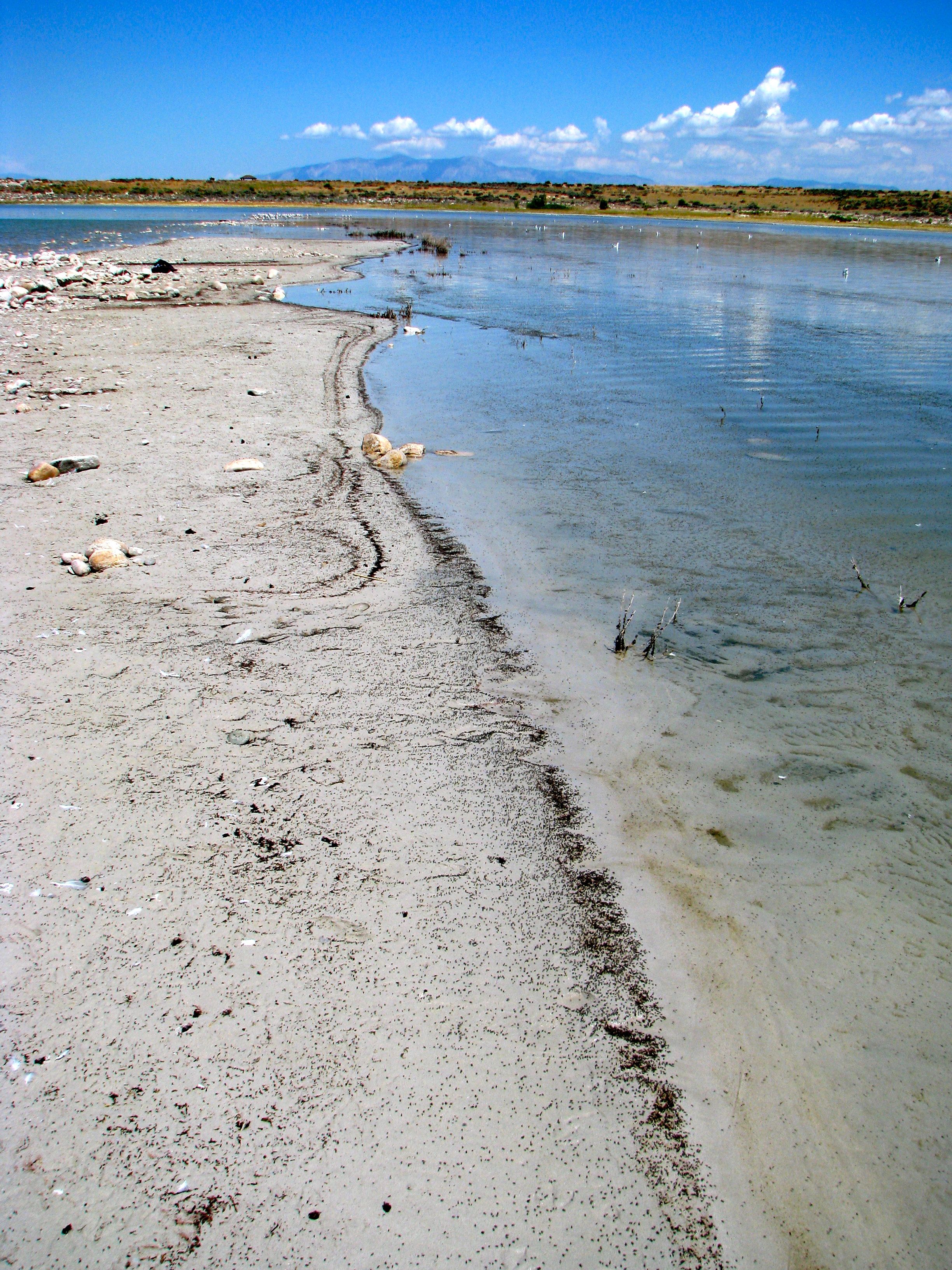
Antelope Island also offers a chance to swim in the Great Salt Lake from the large sandy beach at Bridger Bay, which also includes other facilities such as restrooms, showers, covered picnic areas and a snack bar. The water here is extremely shallow. We walked for what seemed like ages before it got deeper than our knees. It’s true what they say about the saltiness though; lay down in it and you’ll float like a cork.
Few creatures can live in the salinity, a level of salt greater than the ocean. However, they are represented in great abundance during the summertime. Brine shrimp fill the waters and flies swarm atop the surface in unimaginable numbers. Again, be aware of this if these kinds of things bother you.
Watching huge black sheets of flies swarming away from you as you walk through the water can be a bit disconcerting. However, the flies are totally harmless and they eat only microorganisms. They do not bite people. The water does seem to emanate a bit of an odd odor, though. Nonetheless, it’s easy enough to get past those mental drawbacks and still have an enjoyable time.
Fielding Garr

The Fielding Garr Ranch is one of the more fascinating aspects of Antelope Island. It involves a scenic ten-mile drive down the eastern edge of the island where we were able to spot several of the antelopes set along the hillsides. We never did spot the bison herd so apparently they were grazing elsewhere that afternoon. Ten miles is a long way when the destination is the only real stopping point. However, the road is nicely paved and well maintained. It’s worth the drive. We were glad we continued.
Originally a Mormon Property
The Garr Ranch really was a working ranch, and for a long time: 1848 through 1981. Antelope Islands has a number of natural springs, the largest being Garr Springs, the perfect location for a ranch once devoted to livestock and sheep. Fielding Garr came to Antelope Island at the behest of the Mormon Church. His job was to establish a ranch for the Church’s herds, which he accomplished quite successfully.
The ranch house he built here in 1848 is reputedly the “oldest Anglo building still standing on its’ original foundation in Utah.” Presumably there is an older Anglo building in Utah somewhere that’s been moved away from its original location (perhaps at This is The Place Heritage Park?) but that’s left unsaid.
Later a Private Ranch, then a Park
It remained Mormon property until the 1870’s when purchased by John Dooly, who introduced the bison herds. It then continued in private hands until the State of Utah purchased the ranch in 1981, joining the rest of the parkland on Antelope Island and making the entirety of the island state-owned and available for public enjoyment.
The ranch continues to be preserved as it stood in 1981, and its been kept in good working order as a contribution to the historical record and a demonstration to visitors.
Leave a Reply