
I thought I’d lump another set of somewhat related items together as I continued to cull the enormous backlog of possible Twelve Mile Circle topics. However, they didn’t have much in common except that they all involved continental Africa. Two involved geographical observations and the other two related to geological oddities. All of them piqued my interest although not enough to devote an entire article to them.
Long Flights
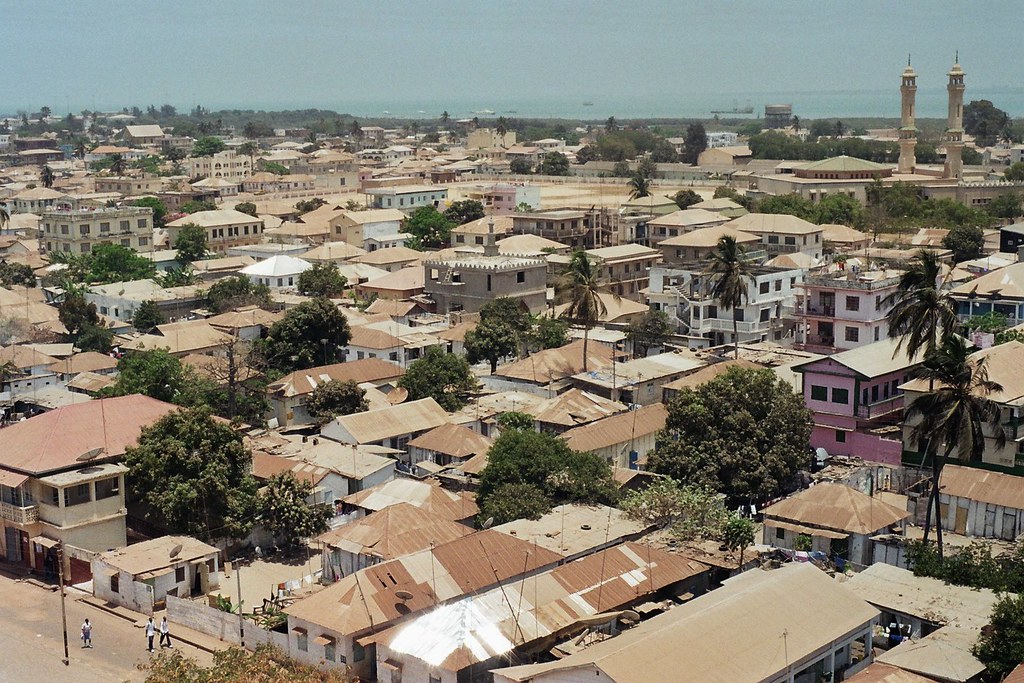
Most of us have probably seen the recent comparison-style maps on the Intertubes lately, some demonstrating Africa’s immense size. Brilliant Maps, for example, included a wonderful portrayal of the True Size of Africa not long ago. People tended to misconstrue Africa’s enormity. That likely happened because of its under-representation in popular media. As well, Mercator map projections distort its actual size. Twelve Mile Circle fell into some of those same traps as witnessed by the relatively few African article markers on the Complete Index page.
Great Circles
In that vein, I pondered Africa’s enormity in a slightly different manner using great-circle distances. And what better measure of great-circle distance could I generate than airline flights? One could take a direct nonstop flight from Lagos, Nigeria to Nairobi, Kenya — currently 7 flights per week on Kenya Airlines — and ponder its width. Those take travelers from west to east across the continent, not even its widest part. The flight lasts 5 hours and 20 minutes. Compare that to the United States. A flight from New York to San Francisco across the width of the US takes about the same time. Internationally, London, England to Ankara, Turkey yields a similar result.
Looking at length, one could then take a nonstop flight from O. R. Tambo International Airport in Johannesburg, South Africa to Cairo, Egypt (4 flights per week on EgyptAir) That takes 8 hours. Alternately, Johannesburg to Dakar, Senegal (3 flights per week on South African Airways) takes 8.5 hours. That compared rather favorably with a flight between Chicago, Illinois and Paris, France. Of course, an entire ocean didn’t have to be crossed on any of those African flights. That, to me, demonstrated its vast expanse quite succinctly.
Plus, now I get to see all sorts of interesting advertisements on my website now that Big Data thinks I’m contemplating so many far-flung adventures.
Extreme Elevation (or Lack Thereof)
Africa demonstrated many extremes, although not in every instance. Certainly a landmass of its size featured an array of elevations, from Mount Kilimanjaro in Tanzania (5,895 metres / 19,341 feet) down to Lake Assal in Djibouti (-153 m / -502 ft). I wondered though, which African nation had the smallest elevation extremes.
I discounted the various offshore islands that were considered part of Africa and focused on the continent itself. The honor went to The Gambia. I featured Unusual Geography of the Republic of The Gambia in the very early days of 12MC. Even then I commented on its elevation. I didn’t realize at the time that its highpoint (53 m / 174 f) also served as the lowest national highpoint on the continent.
The website Peakbagger included this highpoint in its database, a place called Red Rock (map). Only one Peakbagger member claimed to have conquered its summit. That didn’t surprise me.
Weird Volcano
The continent also served as a home for what National Geographic dubbed the Strangest Volcano on Earth. Vulcanologists recognized the Ol Doinyo Lengai stratovolcano in the Gregory Rift of the larger East African Rift of Tanzania (map) for its unique properties. No other active volcano produced natrocarbonatite lava. Ol Doinyo Lengai did not produce lava based on silica, as typical. Instead, the lava contained sodium and potassium carbonate minerals.
“…the temperatures of these lavas are much lower, ‘only’ about 600 deg. C., and Lengai’s lava does not emit enough light to glow during day,- only at night, a dull reddish glow that does not illuminate anything is visible. Also because of its peculiar chemical composition, the lava is extremely fluid and behaves very much like water, with the exception that it is black like oil. After it is cooled down it quickly alters and becomes a whitish powder.”
Black water lava? I’d love to see some of that in person. I may have to settle for the YouTube video for now.
Large Crater

In the distant ancient history of the planet, something like two billion years ago, an asteroid slammed into the earth. It left an impact crater 300 kilometres (185 miles) across. The asteroid was much smaller than that, maybe 5-10 km in diameter. However, it hit with such tremendous speed and force that it vaporized stone for great distances in all directions. This celestial divot became the Vredefort crater — named for the South African settlement that grew there in modern times — the largest verified crater on the planet.
Very few signs remained because of its ancient pedigree, leaving it mostly eroded. A structure known as the Vredefort Dome sprouted at impact, an uplifting of rock that occurred at the very center of the strike. Most of it weathered away long ago although it still appeared as a faint semi-circle on satellite images. A few roads also crossed its ridges, making it an interesting sight in Google Street View (image).
The thought of an impact that large seemed terrifying.
Leave a Reply