
More oddities began to appear as I explored the borders of Venezuela’s Lago de Maracaibo a bit further. Then I noticed that advertisements embedded entirely within unrelated websites began to display in Spanish as I visited them. Google didn’t know what to make of me with all of my disjointed Twelve Mile Circle searching. Its algorithms now thought I spoke Spanish so it fed me a steady diet of Spanish ads. I suppose its vast database will categorize me in some other way once I research another article.
Maybe I’ll start getting referrals for mental health services because, obviously, I couldn’t stick to a single coherent line of reasoning for more than a day or two. However, and back back to the point, the lake held many mysteries, more than I could cover within a single article. So I’ll probably suffer through a few more Spanish advertisements for a little while longer. These are the hardships I gladly endure for the 12MC audience. We must learn the truth!
Lago de Maracaibo
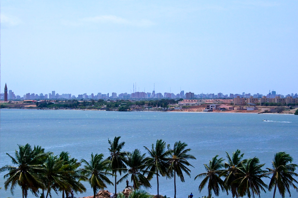
I suppose I should take a step back and appreciate the vastness of the lake in its entirety. It covered a massive surface area, 13,210 square kilometres (5,100 square miles). By comparison, that made it larger than the land area of the U.S. states of Connecticut, Delaware or Rhode Island. Technically it also probably didn’t qualify as a lake. More appropriately it might be a tidal bay or an inlet of the Caribbean Sea. Nonetheless it once existed a true lake, so the name said lake. It might be “… the second oldest [lake in the world], having been created approximately 36 million years ago.”
No other lake in South America eclipsed Lago de Maracaibo assuming one considered it to be a lake. Otherwise the honor went to Lake Titicaca, the home of the landlocked Bolivian Navy. I don’t see anyone trying to change the name of Lago de Maracaibo anytime soon so a “lake” it shall remain.
The larger Lake Maracaibo Basin also contained Venezuela’s economic lifeline, its famously voluminous oil reserves.
“The Maracaibo basin of western Venezuela is one of the world’s most important oil producing basins, with a cumulative production of more than 35 billion bbl. The reasons for this great wealth of hydrocarbons are a combination of source beds of excellent quality, thick reservoirs with high porosity and permeability, and a series of sealing shales, faults, and unconformities, which provide large and numerous traps.”
Obviously it had a lot going for it.
Puente General Rafael Urdaneta

I looked more closely again at the map from the previous article. I noticed that the Venezuelan state of Zulia contained another, much larger exclave. The waterway that separated lake from gulf — the Tablazo Strait — also separated the main body of Zulia from its eastern side.
It didn’t much matter though, or at least it hadn’t since 1962. That’s when construction of the General Rafael Urdaneta Bridge finally wrapped-up (map). This five-span crossing stretched nearly 9 kilometres and connected the two primary portions of Zulia. However, that provided a side benefit, not its primary purpose. The bridge truly existed to connecting the city of Maracaibo and its 2.5 million residents to the rest of Venezuela.
The general with the bridge named for him grew up in Maracaibo; born there in 1788. Urdaneta performed heroically during a South America independence movement and later became president of Columbia. He probably deserved a bridge named in his honor.
Catatumbo Lightning

Lago de Maracaibo delighted in other ways, specifically along its surface. Any internet search mentioning the lake undoubtedly turns up results talking about the Catatumbo Lightning. This strange phenomenon occurres where the Catatumbo River joins Lake Maracaibo on its southwestern bank (map).
Mountains constrain swampy river plains on three sides, trapping moisture. Winds blow steadily across the plains generating electrical charges. Then the destabilized air creates massive thunderstorms. This happy confluence becomes the most electric place on earth, with storms lasting several hours at a time about 260 days per year, with a near constant barrage of lightening.
“Venezuela’s Lake Maracaibo earned a place in the Guinness Book of World Records for ‘highest concentration of lightning’ with 250 lightning flashes per square kilometre each year. The storms ease off in the dryer months of January and February and are most spectacular at the peak of the wet season around October. At this time of year, you can see an average of 28 lightning flashes each minute.”
It happens only in a small area, at the mouth of the river. Only there do conditions line up in the exact configuration necessary to produce an almost daily electrical storm. I don’t think I’d want to get too close for too long, not with every square kilometre zapped nearly every time.
Leave a Reply