
I completed an epic day of geo-oddity exploration earlier this week during the Dust Bowl trip.
An Initial Cluster
The first cluster sat near Black Mesa at the far northwestern corner of the Oklahoma panhandle. This small area may be unique in the state from a geographical perspective, with genuine mesas replacing more typical flat or rolling grasslands. One drives along ramrod-straight roads all day until the terrain changes completely without warning. It’s literally that stark.
There were three notable geo-oddities that I visited near Black Mesa. Specifically, they were:
- The Colorado-New Mexico-Oklahoma tripoint;
- The 37° north/103° south latitude-longitude confluence; and
- The Oklahoma Highpoint trailhead
CONMOK Tripoint
I’ve driven a lot of dirt and gravel roads on this trip, gaining a new appreciation for the “dust” of the infamous Dust Bowl. It’s a very fine consistency reminiscent of powdered sugar, and it coats an automobile in light-brown grime on the back roads. So just about every road that wasn’t designated a primary route lacked pavement.
Thus, I was pleasantly surprised to discover that the road up to Black Masa was paved asphalt. Only the final mile-or-so turned to gravel at a point where one turned west towards the CONMOK tripoint. There it switched from an Oklahoma road to a Colorado road. So I suppose that accounted for the difference.
CONMOK was an easy capture and extremely obvious, complete with a convenient turnaround adjacent to the roadside.
Confluence
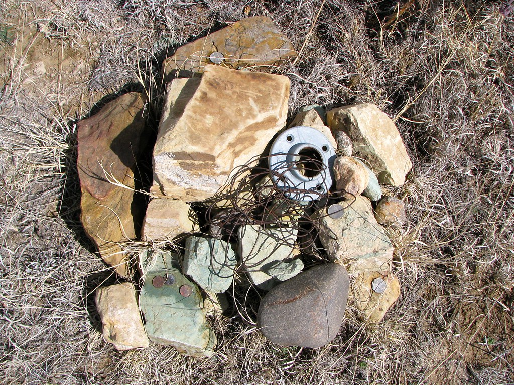
The lat/long confluence was only slightly more difficult. Starting from the tripoint, I followed the GPS back another quarter mile until it implied that I was perpendicular to the confluence. Then I got out of the car and walked maybe twenty paces north into the surrounding scrub. There I found a small pile of rocks decorated with a few doodads and coins left by previous geo-geekers with the same strange fascination. That marked the confluence. The whole ordeal took all of about thirty seconds.
Oklahoma Highpoint
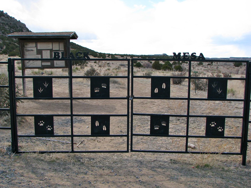
Backtracking further we reached the Black Mesa trailhead. I would have experienced the Oklahoma highpoint had I wished to hike four miles onto the mesa and return. My passenger had already completed four half-marathons in four days as part of the Dust Bowl series and was in no mood to add another eight miles to the total. We called it a day and decided that maybe we’d try this some other time assuming we ever returned to the area again.
A Second Cluster
Of course I had another batch of geo-oddities on my list for the day.
NMOKTX Tripoint
We drove down from Black Mesa to find the next tripoint on our journey at the southwestern corner of Cimarron Co., Oklahoma, where New Mexico, Oklahoma and Texas form the NMOKTX tripoint.

This marker was the least remarkable of all the tripoints we visited during the trip. It was downright underwhelming. Nonetheless it signified a tripoint so it counted just as much as the others. I also promised that this would be the last dirt road we would have to travel during our journey.
Thelma and Louise Spot

We continued west another couple of miles to rejoin Route 54 on our way to our ultimate destination for the day at Clayton, New Mexico. But I still had a final geo-oddity to capture, a landmark more obscure than all of the others combined because it’s fictional and I made it up. I called it the Thelma and Louise spot. Readers may remember that I developed a Thelma and Louise Route Map about eighteen months ago. It’s been a very popular page, receiving several new visitors consistently every day since its publication.
Anyway the big finale of the Thelma and Louise movie depends upon a specific plot twist. Louise cannot enter Texas. I remarked on the geographical implications of that point in the previous article:
“The shooting script includes a reference to Boise City, OK that did not appear in the movie. This makes sense as it’s the logical path between Oklahoma and their next destination, New Mexico. It also brings them within mere feet of Texas without crossing the border so Louise remains safe in that respect.”
So this photograph marks the spot where Louise comes within mere feet of Texas (map). The movie simply cannot work from a logical perspective without the characters passing down the paved road directly ahead. The paved road would be safe territory. The dirt road in the foreground would be unsafe. The movie would have ended completely differently if the road had been constructed a few feet farther east.
Leave a Reply