
I ride my bike most weekends and I like to switch-up the route whenever possible. Sometimes I complete a circuit. Other times I’ll go for an out-and-back. When I do that I enjoy playing a little game I call “how far can I get in an hour.” We’re blessed with an abundance of well-maintained, scenic trails and I can make it a pretty far. One route takes me from my home in Arlington across the Potomac River into Washington, DC, and then straight up the Chesapeake and Ohio Canal trail. Usually I don’t cover as much ground on this trail because the crushed gravel surface slows me down. Also I have to take my hybrid instead of my road bike for better traction. I still enjoy the challenge though.
For months, I’ve been telling myself I should slow down and enjoy some of the scenic and historic sites along the C&O. On Sunday I finally decided to do that, although the notion didn’t come to mind until I almost finished the hour. So I did a fast hour out, with a much slower return, stopping frequently for photos. I became the stereotypical tourist in my own backyard.
Someday I will ride all 185 miles of the C&O Canal trail from Cumberland, Maryland to Washington, DC. I’ve done stretches of it including the DC-area portion dozens of times. Until that day comes, however, I can now say I’ve recorded a small part of it. This accounting shouldn’t be confused with a trail guide though. A really good one already exists. Instead, I present a few things that I liked as I completed my return.
Carderock; Mile 11.8
Why did I stop and turn around at Mile 11.8? Because I looked at my watch and I’d finished the hour. I’m very precise like that. I needed to head back home. Actually I made it about halfway between Carderock and Great Falls (map) if I want to get technical about it. Whatever. The Carderock Recreation Area featured all sorts of outdoor activities, not just biking. Lots of people hiked its well-known Billy Goat Trail on the rough stony banks of the Potomac River. Others climbed its cliffs, some of the most easily accessible rock walls in the DC area.
Original Mile Marker; Mile 9.0
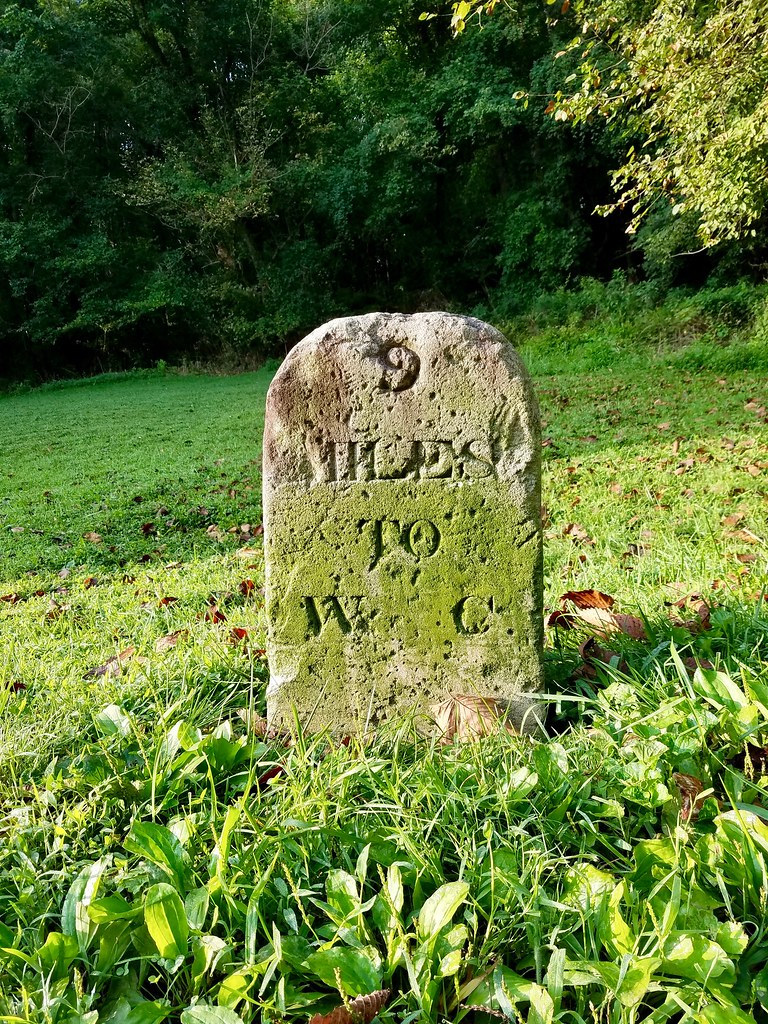
The geo-geek in me loved the marker at Mile 9.0, an historical artifact dating back to the operational days of the canal. Construction began in 1828 and builders didn’t finish it until 1850, although some sections started serving commercial traffic before that. However, railroads competed with the canal even before workers finished digging it. Floods devastated it several times too. The whole enterprise finally ended, abandoned, after the Flood of 1924.
That mile marker (map) stood sentinel all that time, passed by innumerable mule boats filled with cargo, and then into the present era. It read “9 miles to W.C.” Presumably that referenced Washington City and not the nearest toilet facility. It took a boat pulled by a mule about a week to cover the entire length of the canal so this marker meant two or three more hours to go.
Sycamore Island; Mile 6.5

Sycamore Island always intrigued me as I passed it on earlier rides. A private club owns the island, as it has since 1885, and tightly controls access to it. Members take their own hand-pulled ferry across the narrow channel from the C&O trail towpath to the island. They ring a little bell when they want to cross and the permanent caretaker heads to the boat to pull it across. Only the caretaker lives on the island full-time.
The club didn’t offer a lot of amenities by design. Members could take canoes out on the water, enjoy the island’s natural setting, fish, swim, chat with other members, read books, or simply relax. It offered a little oasis of solitude in an otherwise complicated world. Lots of people seemed to want that opportunity, too. Applications were accepted only “between January 1 and March 31st on even-numbered calendar years.” Even after that, by all accounts, it could take years for a prospective member to finally get to the top of the waiting list.
Lockhouse 6; Mile 5.4

Locks required manual labor to open and close. However, miles of the canal crossed wilderness and few people lived nearby. Lock tenders couldn’t commute to their jobs from nearby towns. So the canal company had to build homes for their employees on-site.
Many of these original lock houses survive and a few can be rented for overnight accommodations. The C&O Canal Trust restored Lockhouse 6, 10, 22, 25, 28 and 49 for that purpose, with each reflecting a different historical period. Lockhouse 6 (map), pictured above, represented the 1950’s when people finally started to think about preserving the canal. Lockhouse 6 was one of the few for rent with electricity, running water and heat.
River View; Mile 4.5

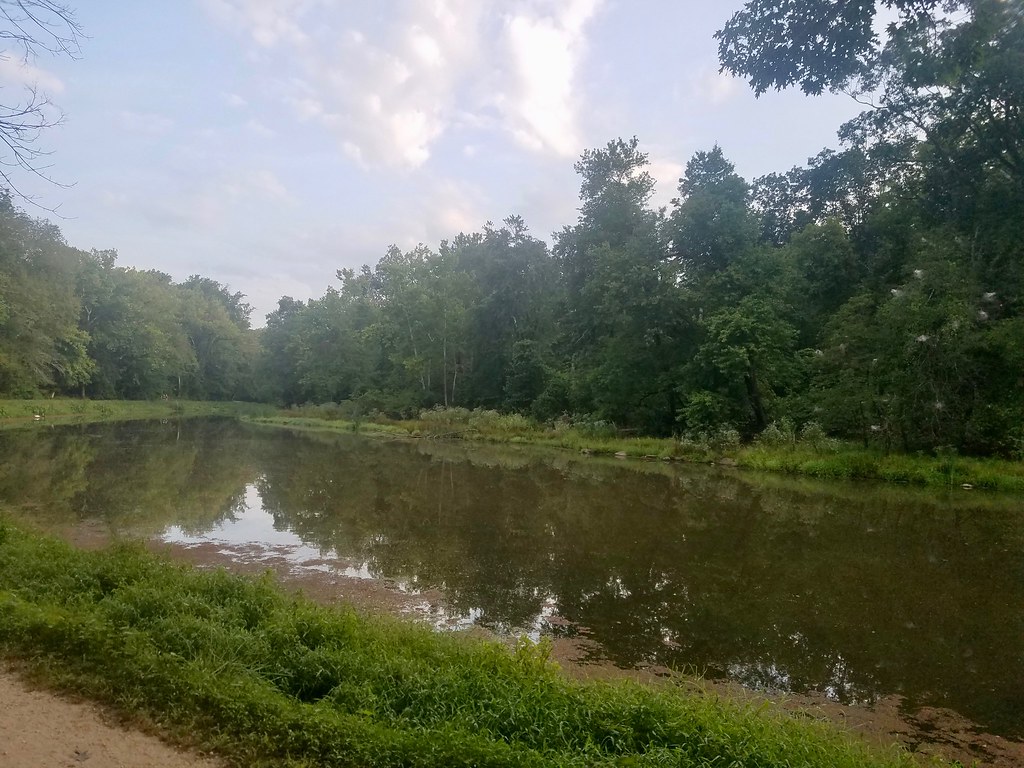
I’d seen a little stub trail leading from the towpath somewhere around Mile 4.5 on several occasions. Kayakers seemed to portage to it from a nearby parking lot so I knew it led to the river. I had a little time on my return trip so I followed the stub to its conclusion (map).
It led to what looked like a parking area (clearly visible on satellite), which seemed odd because I couldn’t imagine a car ever driving down the towpath to get to the stub. Maybe it provided a way for emergency vehicles to access the river or something. People sometimes do get into trouble on this turbulent stretch of water. I don’t know. The terminus also included a viewing platform with some great scenery just upriver from Chain Bridge. Barely within the borders of the District of Columbia, it felt a world away from the rest of the city.
Georgetown; Mile 1.0

I rather enjoyed the final slow meander towards home. Soon, way too soon, I arrived at Georgetown where I had to leave the C&O a mile before it ended (map). There I crossed Key Bridge once again and headed back into Arlington.
Leave a Reply