
There are 14 Counties in Vermont – “The Green Mountain State“
Also be sure to see my United States County Counting Page for the rest of the states.
I have visited 14 Counties = 100% of Counties in Vermont
Counties visited are colored-in; counties still needing to be visited are blank. Map created using Mob Rule.
Twelve Mile Circle Articles Featuring Places in Vermont
Markers designate the Vermont locations featured in Twelve Mile Circle articles.
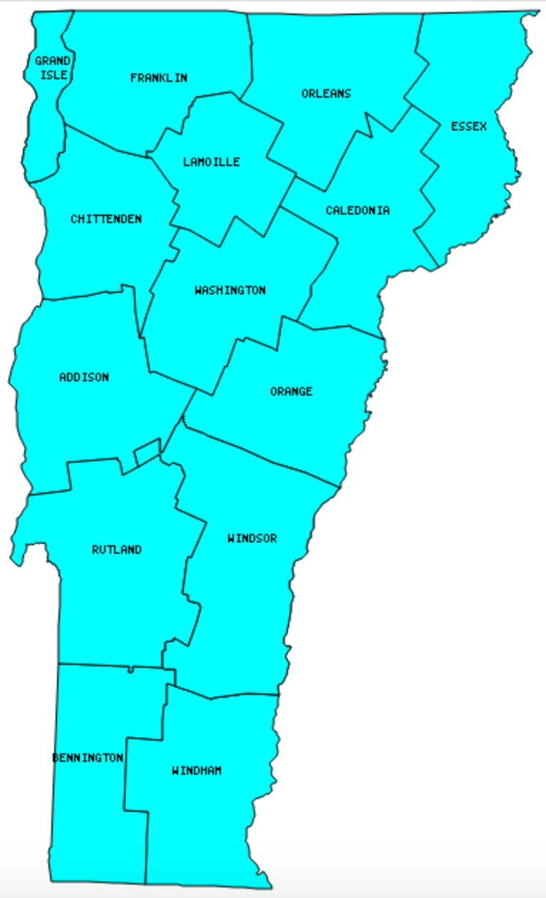
Counties in Vermont

Below are the 14 counties in Vermont. Although infrequent, counties sometimes do change so please let me know if any of this information is out of date and I will update it. Those counties that I have visited are highlighted in Red. Readers can also link to any articles manually in this section if the map isn’t working.
- Addison
- Bennington
- Caledonia
- Chittenden: Largest county population in Vermont (146,571 people in 2000 Census); Lowest Landlocked States
- Essex: Smallest county population in Vermont (6,459 people in 2000 Census).
- Franklin: The Jeffersons and Beyond; Presidential Birthplaces; More Geo-BREWities
- Grand Isle: Smallest county in Vermont (83 square miles); Vermont’s International Border Anomaly; Missisquoi Bay Exclave
- Lamoille: King’s College Tract
- Orange: Green Mountain Railroad – White River Flyer
- Orleans: Bordersplit; Gate Splits Border Community; Semi-Practical Exclaves Galore!
- Rutland
- Washington: Ben & Jerry’s
- Windham: Sydney Tentacles
- Windsor: Largest county in Vermont (972 square miles); Welcome to Vermont; Think of the Children; Springfield Rapids; Name That Smell; Phineas Gage Accident Monument; Cornish-Windsor Bridge; Green Mountain Railroad – White River Flyer; Harpoon Brewery; Jasper Murdock’s Ale House / The Norwich Inn
Quick Facts About Vermont
- Location: New England United States. See map above.
- Size(1): 9,217 square miles. Vermont is the 43rd largest state. The next larger state is Maryland and the next smaller state is New Hampshire.
- Population(2): 626,299 people. Vermont is the 49th most populous state. The next more populous state is Alaska and the next less populous state is Wyoming.
- Population Density: 68.0 people per square mile. Vermont is the 31st most densely populated state. The next more densely populated state is Minnesota and the next less densely populated state is Mississippi.
- Bordering States: Vermont shares a border with 3 states: New York; Massachusetts and New Hampshire.
- Admission to the Union: March 4, 1791. Vermont was the 14th state admitted to the Union, after Rhode Island and before Kentucky.
- Capital: Montpelier.
- Highest Point: 4,393 feet at Mount Mansfield. See SummitPost’s Mount Mansfield page.
- Lowest Point: 95 feet at Lake Champlain.
- Government website: Vermont.gov.
- Official Tourism website: VermontVacation.com.
- Still not enough? See Wikipedia’s Vermont page.
Sources:
(1) Wikipedia: List of U.S. states and territories by area. Land area only.
(2) Wikipedia: List of states and territories of the United States by population. Estimated population on July 1, 2019.
Leave a Reply