
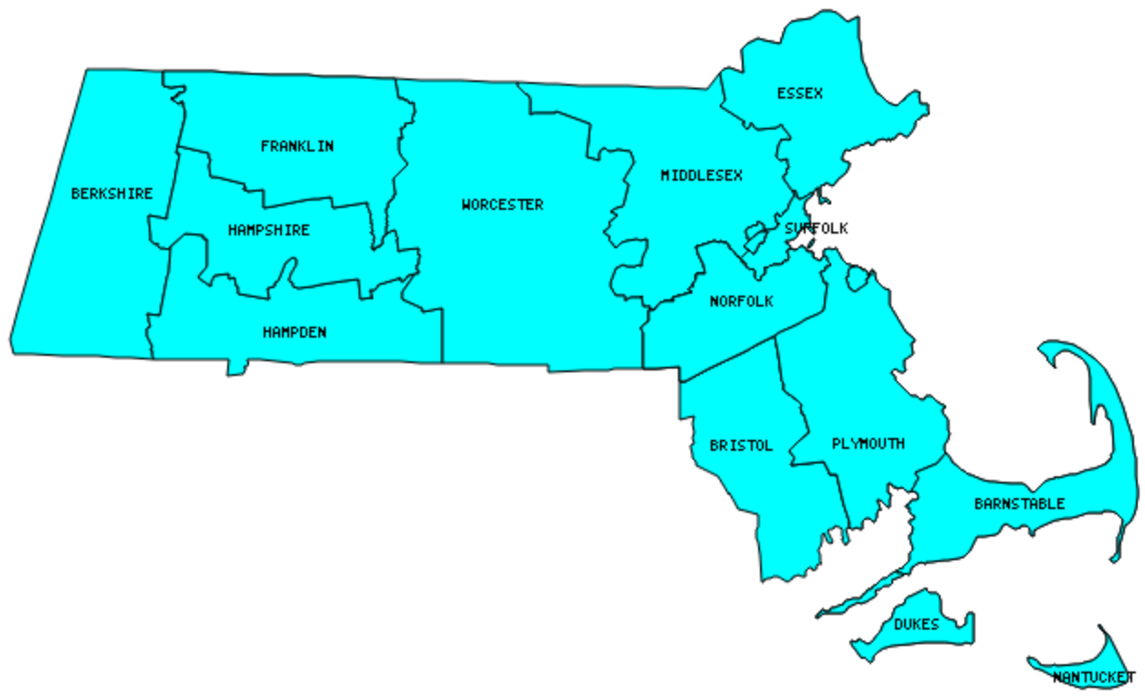
There are 14 Counties in Massachusetts – “The Bay State“
Also be sure to see my United States County Counting Page for the rest of the states.
I have visited 14 Counties = 100% of Counties in Massachusetts
Counties visited are colored-in; counties still needing to be visited are blank. Map created using Mob Rule.
Twelve Mile Circle Articles Featuring Places in Massachusetts
Markers designate the Massachusetts locations featured in Twelve Mile Circle articles.
Counties in Massachusetts
Below are the 14 counties in Massachusetts. Although infrequent, counties sometimes do change so please let me know if any of this information is out of date and I will update it. Those counties that I have visited are highlighted in Red. Readers can also link to any articles manually in this section if the map isn’t working.
- Barnstable: Hyannis Harbor Lighthouse; No Way! Way!; Cape Cod Beer; Slut’s Bush Ledge; Cape Cod Nat’l Seashore; Three Sisters Lighthouses; Nauset Light; Marconi Wireless Station; Wood End Lighthouse; Highland Light; Pilgrim Monument
- Berkshire: CTMANY Tripoint; Highest Elevation Until South Dakota
- Bristol: Lizzie Borden House; Adjacent Counties, Same Name, Different States; Lighthouse Keeper; Comedy Duos; Secret Bunker
- Dukes: Gay Head Light; Edgartown Light; Lighthouse Keeper; Particularly Possessive; Oak Bluffs; From Camp to Town; East Chop Light; West Chop Light
- Essex: Halloween Spots
- Franklin: The Short, Short Bus; Connecticut River Byway; Satan’s Kingdom
- Hampden: Springfield Armory; Dr. Seuss National Memorial Sculpture Garden; The Southwick Jog
- Hampshire
- Middlesex: Largest county population in Massachusetts (1,465,396 people in 2000 Census); Over the Road; Smoots and Potrzebies; Smoots Revisited; Avoiding the Temptation; W Towns Outside Boston; Résumé Bait and Switch; Virtual Traffic Circle
- Nantucket: Smallest county in Massachusetts (48 square miles) and Smallest county population in Massachusetts (9,520 people in 2000 Census); Nantucket Harbor; Brant Point Light; Footloose
- Norfolk: Presidential Birthplaces; Sacco and Vanzetti Memorial
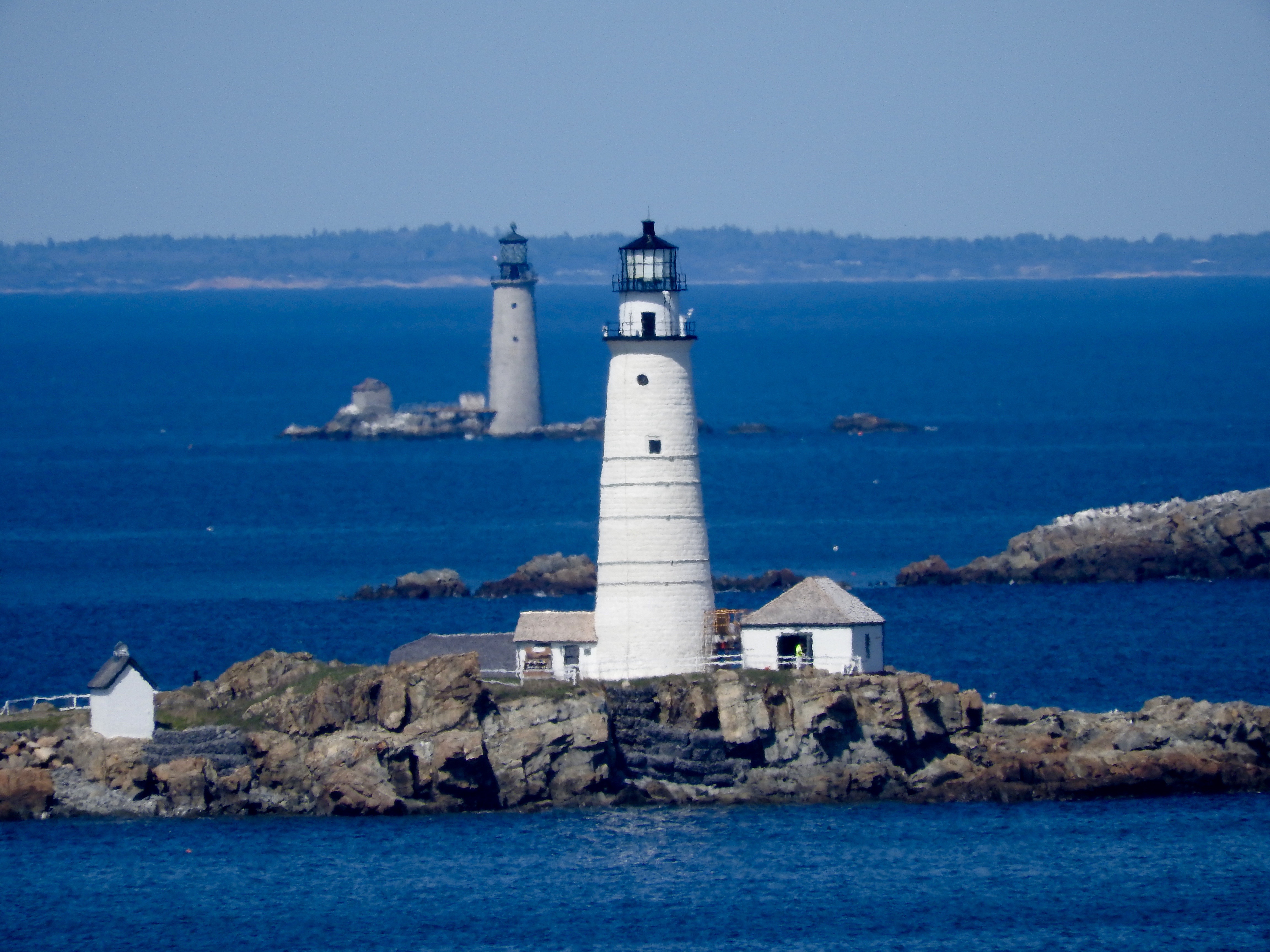
- Plymouth: Plymouth Rock; Plymouth Breakwater; Duxbury Pier “Bug Light”; It’s Not Always About Abe; Hull; Boston Light; Graves Light Station
- Suffolk: Back Bay Brewing Company, North East Brewing Company; Virtual Traffic Circle; Vikings in Boston?; Low Clearance; Smoots and Potrzebies; Smoots Revisited; Over the Road; Undignified Floods; State Nickname Streets
- Worcester: Largest county in Massachusetts (1,513 square miles); Lake Chargoggagoggmanchauggagoggchaubunagungamaugg; CTMARI Tripoint; Warning at the Border; New Braintree
Quick Facts About Massachusetts
- Location: New England United States. See map above.
- Size(1): 7,800 square miles. Massachusetts is the 45th largest state. The next larger state is New Hampshire and the next smaller state is New Jersey.
- Population(2): 6,949,149 people. Massachusetts is the 15th most populous state. The next more populous state is Arizona and the next less populous state is Tennessee.
- Population Density: 890.9 people per square mile. Massachusetts is the 3rd most densely populated state. The next more densely populated state is Rhode Island and the next less densely populated state is Connecticut.
- Bordering States: Massachusetts shares a border with 5 states: New Hampshire, Vermont, New York, Connecticut and Rhode Island.
- Admission to the Union: February 6, 1788. Massachusetts was the 6th state admitted to the Union, after Connecticut and before Maryland.
- Capital: Boston.
- Highest Point: 3,491 feet at Mount Greylock. See SummitPost’s Mount Greylock page.
- Lowest Point: Sea Level at the Atlantic Ocean.
- Government website: Mass.Gov.
- Official Tourism website: Massachusetts — It’s All Here.
- Still not enough? See Wikipedia’s Massachusetts page.
Sources:
(1) Wikipedia: List of U.S. states and territories by area. Land area only.
(2) Wikipedia: List of states and territories of the United States by population. Estimated population on July 1, 2019.
Leave a Reply