
If I’m featuring another set of ferries then it must mean I’ve completed another national ferry page. Yes, indeed that’s the case. Today I introduce my new Ferries of Australia map (and detailed maps for Sydney and Brisbane). With that, I’ll highlight some of the more interesting routes I’ve uncovered.

I hope you have an opportunity to check out the new pages. Each features a Google Map as an underlying base. Then you can use the pushpins to gather further information about individual ferries and links to their commercial websites. As with all Google Maps mashups, users can zoom in or out, switch to satellite mode, or move about the image as desired.
Most Australian ferries hug the coastline as one might expect. That’s where the preponderance of the people live. So the extensive ferry networks allow them to commute into the cities and visit coastal islands on holiday. There’s precious little water to cross in the hot, dry outback. Likewise, fewer ferries exist inland.
Northernmost
The northernmost Australian ferry crosses the Torres Strait between Cape York Peninsula on the Queensland mainland to Thursday Island. Remember, being in the southern hemisphere this makes “north” closer to the equator.
This particular ferry operates at a latitude only 10 degrees south of earth’s equatorial belt. Thursday Island is a tropical locale and the population is typically Melanesian. Contrast that with the northernmost ferry in Canada which is clearly in Ice Road Trucker territory.
Southernmost
The southernmost Australian ferry is the Bruny Island Ferry, south of Hobart in Tasmania. It crosses the D’Entrecasteaux Channel between Kettering and Roberts Point (but don’t confuse it with Point Roberts, that weird little geographic anomaly on the Canada – USA border). I was quite surprised this morning as I put together this post to find that the new Google Street View maps for Australia include the Bruny Island Ferry. Behold, there it is, straight ahead, ready for you to roll onto and sail away.
Even more interestingly, the Street View for the Bruny Island Ferry actually takes the viewer inside the ferryboat. How cool is that?!? See if you can read the signs on the wall or take a look up at the ceiling.
Moving Inland
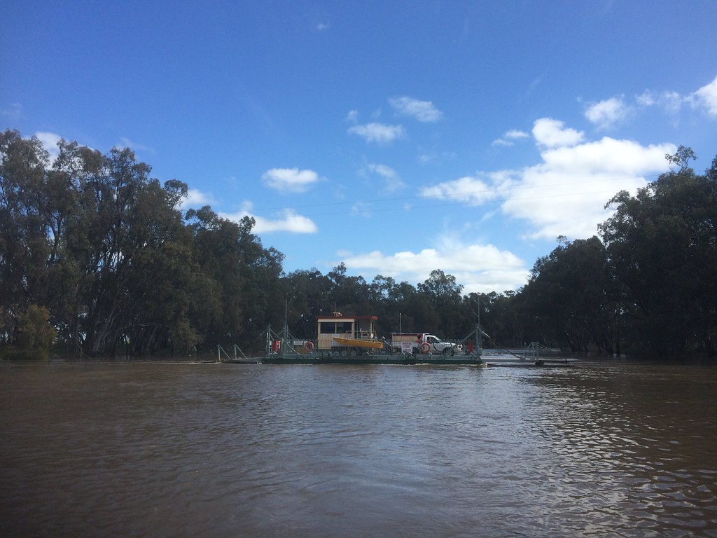
Actually there are a few inland river ferries, although not many. One instance involves the Speewa Ferry crossing the Murray River between New South Wales and Victoria (map). It’s simply not cost effective to build bridges in these sparsely populated areas. Out there a traditional ferry can do the job just as well as a bridge but a whole lot cheaper. These inland ferries are sprinkled throughout the mid-southern portion of Australia plus some west of Sydney where there are rivers that travelers need to cross.
Leave a Reply