
What was that 1980’s song, “One Thing Leads to Another?” Right. You know the one. Put that on in the background and use that as our Twelve Mile Circle theme song for the day.
I mentioned my frantic search to resolve a Move the Road dilemma that the loyal 12MC audience resolved soon thereafter. I attempted all kinds of crazy catch-phrases within various search engines during my initial attempts before I admitted failure and gave up. One was “Zig Zag” and that is where the theme song comes in. I didn’t solve any of my immediate needs however one thing led to another. It provided fodder for a completely different article.
Zigzag, Oregon, USA
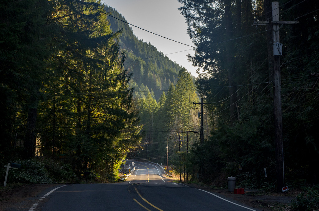
For example, it led me to the Zigzag Ranger District in Zigzag, Oregon, along the Zigzag River (map).
I came oh-so-close to Zigzag during my recent trip to Oregon. Had I remained on Route 26 heading towards Portland for another 15 miles instead of turning north towards Hood River I would have driven directly through Zigzag. I’ll have to add this to my ever-growing list of lost opportunities and travel frustrations.
Authorities named the Ranger Station and District in the Mount Hood National Forest as well as the town of Zigzag for the Zigzag River. With that, one might logically conclude that this must be one incredibly twisting, winding river. However, it’s no more remarkable in that respect than other tributaries nearby. According to one theory, it may have had more to do with a trail that led down to and across the river. American pioneers moving through the area in the mid-Nineteenth Century apparently thought of it that way.
Zigzag Roads
I discovered only one populated zigzag place in the world, the one in Oregon. On the other hand, I found abundant different roads carrying the same distinction. I marked several of them with particularly nice squiggles. I began to appreciate them as much from an aesthetic perspective as from a geographic one.
Blue Ash, Ohio, USA
I really liked Zig Zag Road in Blue Ash, Ohio. This one represented complete truth in advertising without any false pretenses. Notice all the different zigs and zags!
It also prompted me to wonder about Blue Ash more specifically (sing it again: one thing leads to another). What would cause blue ash? I had visions of burnt toxic waste. It turns out it’s a tree. Maybe you knew that. I didn’t. I’ve never claimed to be an arborist. As the City of Blue Ash explains:
“The first building in Blue Ash, Carpenter’s Run Baptist Church, once located near where the Plainfield and Cooper Roads intersection is today, was constructed from the logs of Blue Ash trees. Blue Ash trees were also useful to the early settlers because a blue dye could be extracted from the bark.”
I’m not sure I could identify an ash on my own, blue or otherwise.
Calder, Tasmania, Australia
Then I jumped to Australia and found a Zig Zag Road in Calder, Tasmania. I featured this example because Tasmania doesn’t often make it into Twelve Mile Circle and because it seemed to have the requisite curvy shape.
Then I found another Zig Zag Road northwest of Melbourne, Victoria (map). It’s not very zig-zaggy although it does have the distinction of having its own vineyard, Zig Zag Rd. Wines.
“Established in 1972, 540 metres above sea level, Zig Zag Wines is one of the earliest vineyards in the Macedon Ranges Region. The un-irrigated vines are grown in red volcanic clay soil, (local to the region) coupled with cold climate, produce grapes with intense, distinct flavours.”
That’s pretty special. An entire line of wines named after the road.
Christchurch, New Zealand
New Zealand? Sure, New Zealand has at least one Zig Zag Road. This one sits west of Christchurch. I don’t know much more about it other than it looks like the curves come courtesy of switchbacks as the road climbs up from the Rakaia River gorge.
Surrey, England, UK
I think my favorite Zig Zag Road must be the one in Surrey, England, and not because it’s located near a town called Dorking. I’m certainly familiar with Dork. Given that, what would be dorking exactly?
No, it’s because this Zig Zag Road just made a prominent guest appearance in the 2012 Olympics.
“[Zig Zag Road]… has been popular with cyclists since the 1880s. The road is a steady climb of 120 metres (390 ft) over 2.5 kilometres (1.6 mi) and, although on a much smaller scale, has been likened to the Alpe d’Huez in the French Alps. The Zig Zag Road featured prominently in the 2012 Summer Olympics cycling road race events: in a mid-race circuit at Box Hill, the men climbed the road nine times and the women twice.”
Zig Zag Road is quite a climb. It leads to the top of Box Hill, a National Trust property with plenty of trails and scenic panoramic views across the Surrey countryside.
Others
I found other Zig Zag roads in various other places that you should feel free to explore on your own.
- South Jordan, Utah
- Oakbrook, Kentucky
- Cross Hill, South Carolina
- Jonesville, South Carolina
- Eltham, Victoria, Australia
- Kenley, England
Some off them, paradoxically, don’t seem to zig or zag much at all.
Leave a Reply