
I use “Odds and Ends” articles to gather several unrelated topics under a single roof. None of them standing alone would provide enough material to merit its own article. Nonetheless, collectively they might provide a few moments of amusement. These include updates, observations, user suggestions and various failed efforts on my part. If you like these kind of quick-hit stories then you can always find other Odds and Ends in the Complete Index.
Dr. Howder Strikes Again
I spoke of Dr. Howder Road about three months ago. Back then I wrote:
“I can’t prove it yet, but I’m working under the theory that Dr. Howder had passed away during a period when rural roads were being converted in Fayette County and one of his cousins decided it was a fitting memorial to someone who’d provided a public service for nearly 70 years. I’m not sure I’ll ever solve this mystery short of a resident of Dr. Howder Rd. stumbling across this page randomly and filling in the details.”
Well, even better, one of Dr. Howder’s great-grandchildren stumbled across the page. He consulted his 93-year-old grandmother who solved the mystery. My working theory was close to the actual explanation but it was not exactly right. Dr. Howder had a cabin in the area. He also had a neighbor, a Mr. Hawkins, who needed the road for better access to his farm sometime in the years after Dr. Howder passed away. Mr. Hawkins was the person responsible for naming the road in honor of his friend and neighbor, Dr. Howder.
Markers Along the Trans-Canada Highway

I’m sensing many more geo-oddity places to visit along the Trans-Canada Highway than I ever imagined. I featured locations corresponding to the Dominion Land Survey and the 100th Meridian in recent articles. Now, Fritz Keppler, our “county counter extraordinaire” adds two more sites to the Trans-Canada marker list (in a comment): the Longitudinal Centre of Canada and the halfway point of the highway itself.
Could a road trip along the Trans-Canada Highway be a possibility in the future? We’ll just have to wait and see.
More Google Maps Weirdness
Peter from New Mexico wrote recently and wondered about an anomaly along the Rio Grande River near El Paso, Texas:
If Google Maps is to be believed, then someone driving along the Cesar E. Chavez Border Highway would clip a small corner of Mexico without ever having to go through any kind of border control. This would be an easy pickup for someone wanting to record a “visit” to Mexico without actually having to hassle with customs and immigration. He wanted to know if this was too good to be true.
We’ve seen numerous instances where boundaries implied by Google Maps don’t correspond exactly to reality. Usually it’s just a few feet. This error would be a whopper, something closer to a deviation of 500 feet (150 metres). Nonetheless I consulted three different map sources including a topographic map and Google was the only one that drew a knob north of the Rio Grande at this location.
I want to be wrong — I’d love to be wrong — so I’m hoping someone can prove this otherwise. Unfortunately I think this is Google’s mistake instead of a tantalizing chunk of Mexican territory encroaching north of the river.
[UPDATE: Google modified its map, and the knob disappeared, as we suspected]
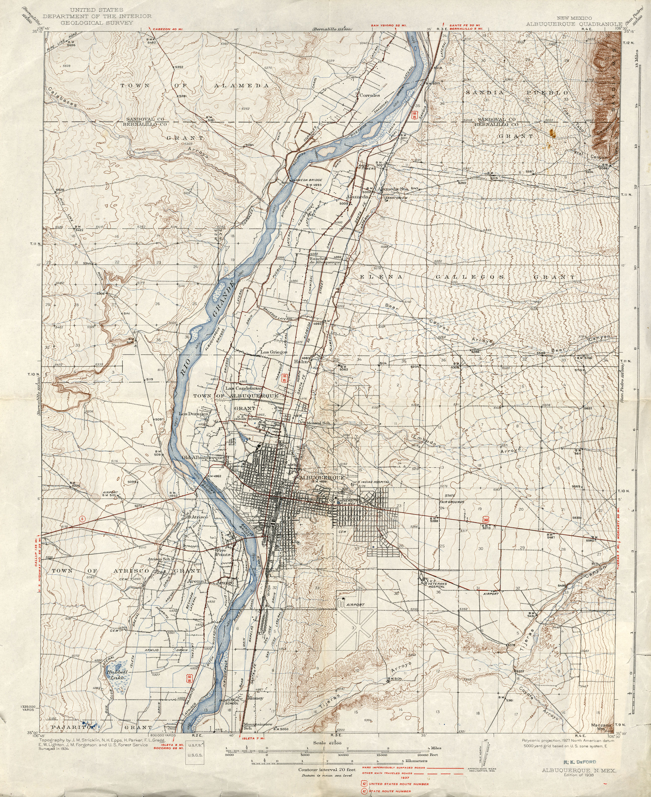
That Confounding Left Turn
The left turn in Albuquerque from the Looney Tunes Geography article generated some great speculation. Reader John Deeth developed a theory about an inside joke that may have had meaning to our forebears traveling on the old Route 66. It would have faded into obscurity with the rise of the Interstate highway system. I tend to agree with John’s theory and I tried to prove it. However, I stopped looking after hours of fruitless searching and banging my head against a wall. I still believe the underlying premise but I couldn’t find a smoking gun or anything more than what John already found.
Brezovica pri Metliki
I discovered this interesting little tidbit while looking at borders recently.
This is one seriously messed-up boundary segment between Slovenia and Croatia, an area called Brezovica pri Metliki. It’s new to me but other sources have already discussed it. It’s not worth going into detail when it’s already known, but I present it to you in case it’s new to you as well.
[UPDATE: I broke down and wrote about it anyway]
Leave a Reply