
I’ve had a good month attracting new visitors from Africa. I’d pretty much stagnated with that audience lately so that’s a noteworthy accomplishment. I’ve tracked statistics for nearly two years and kept a close watch. Unfortunately I haven’t had as much success as I’ve wanted. I even lamented my poor record with African visitors in an article I posted at the end of October.
Then I recorded a visitor from Mali a couple of weeks later and found it very pleasing. Now I am downright ecstatic to report my very first visit from the east African country of Malawi. Slowly I begin to fill even the more difficult countries on my visitor map of the world.
General Musings
I described a geo-oddity I noticed on a map of Malawi in April. Back then I reviewed the situation of two Malawian islands in Lake Malawi, Likoma and Chizumulu. Oddly, they are completely surrounded by the territorial waters of neighboring Mozambique. Both islands have residents that live within a rare example of a water-bound exclave. Unfortunately the article didn’t attract any Malawian visitors at that time.

Malawi is a country with many obstacles but is showing signs of recent improvement. However, high infant mortality, the prevalence of HIV/AIDS, economic underdevelopment, deficient infrastructure and limited educational opportunities all provide challenges. Thus the life expectancy at birth is only 43 years.
Malawi is a country about the size of the U.S. state of Pennsylvania according to the CIA World Fact Book. The population exceeds 14 million. Yet the vast majority of its inhabitants survive through subsistence agriculture. Its largest city, Blantyre, has only about a half million residents.
Elevation Extremes
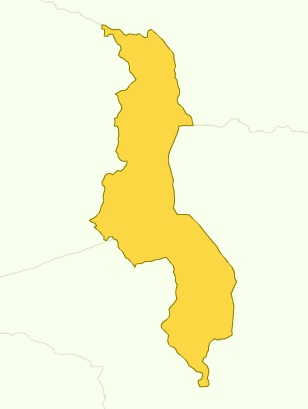
The lowest elevation in Malawi occurs where the Shire River creates an international boundary with Mozambique, at 37 metres (121 feet) above sea level. It occurs in the southern nub of Malwai that extends southward like a little toe.

The lowest point of elevation isn’t very far away from its highpoint either, only about 133 kilometres (83 miles) using a great circle calculation. Behold the summit of Sapitwa. It forms part of the Mount Mlanje (or Mulanje) massif rising abruptly from the surrounding plains to a height of 3,002 metres (9,850 feet). This falls within the Mlanje Mountain Forest Reserve established in 1927, the last stand for a number of indigenous plants.
No Wonder I’ve Had So Few Visitors
The World Fact Book estimates that Malawi had 316,100 Internet users as of 2008. Compare that number with total population. Thus it’s a reflection of the challenges the country faces as it seeks to develop itself. Consider further that an official language of Malawi spoken by more than half its people is Chichewa of the Bantu language family. So it’s no wonder that I’ve only received a single visitor in two years! English does exist in some official circles, a nod to Malawi’s colonial past, and perhaps that is how I attracted my visitor. I may never know.
Leave a Reply