
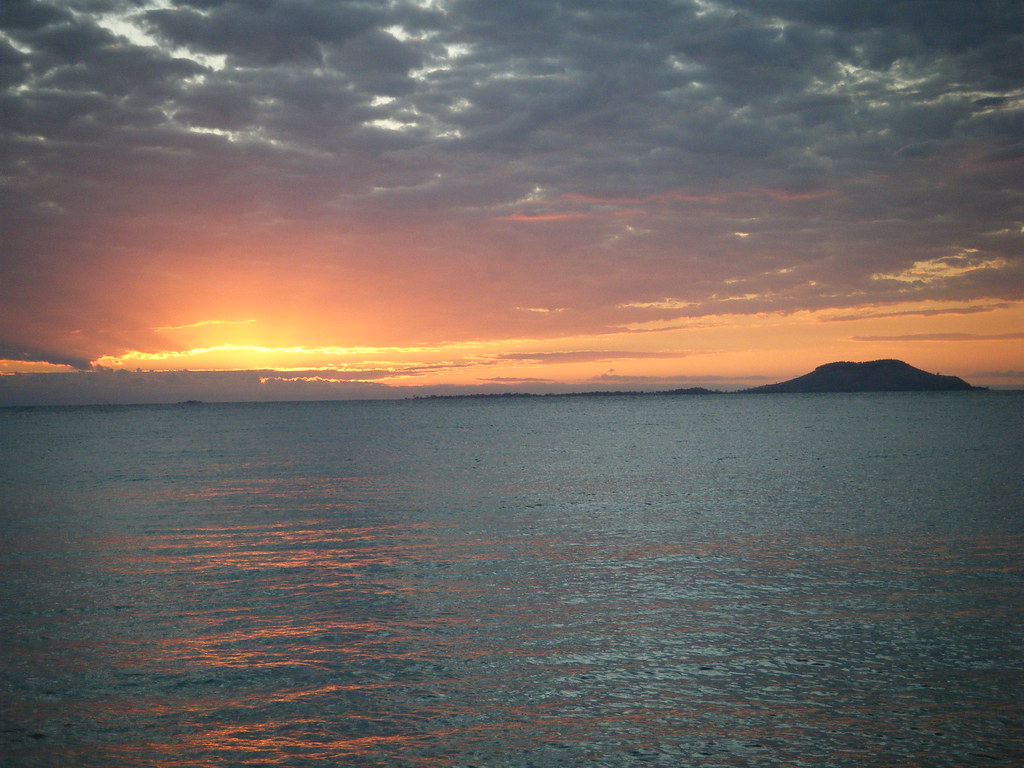
Examine the international boundaries that run through Lake Malawi (or Lake Nyasa as it’s also known) in Africa. Something odd will appear. No, it’s not the disputed border between Malawi and Tanzania which perhaps I’ll save for another day. Rather, notice the small circles of Malawian territory within the territorial waters of its neighbor Mozambique.
Two islands and several smaller islets appear distinctly. The two large islands are Likoma and Chizumulu and the assignment of nationality is more than academic. Several thousand people live in this corner of Malawi completely surrounded by Mozambican waters.
That’s right, the land is part of Malawi but the water is part of Mozambique. It’s not one circle of territory with two islands nestled inside it. Rather, each island stands alone as a separate watery exclave. If a resident of either island strays even a short distance they may cross an international boundary. That can become an interesting exercise when fishing is part of the local economy.
Colonialism
How did this happen? There’s a one word answer. It’s the familiar response one often encounters when discussing the odd manner in which the African continent has been divided into nations. Colonialism
This is a geography site so I won’t get into all of the geopolitics of the colonial legacy, substantial as they may be. However, I’ll simply pause to note that colonialism resulted in some seriously unusual boundaries. They’re often removed from the context of local culture, linguistics, or affiliations.
David Livingstone arrived at the lake in 1859 (aka “Dr. Livingstone, I presume“). Subsequently he claimed much of the surrounding land in the name of the United Kingdom. Thus formed the colony of Nyasaland.
This happened around the same time that other European nations were in a mad scramble to seize chunks of Africa. Portugal gained control of Mozambique immediately to the east and Angola to the west. The British move blocked a Portuguese attempt to connect their territories across the southern tier of the African continent. The situation was like a real-world game of Risk. Never minds what the local inhabitants thought about that. Nobody bothered to ask them.
Positioning at the Lake
Lake Malawi / Nyasa fell on the line between British and Portuguese aspirations on the eastern side of the lower continent. British interests pushed east where Portuguese interests pushed west. They met at the lake.

Portugal grabbed their side of the lakeshore. However Scottish missionaries from Nyasaland managed to settle Likoma and Chizumulu. That happened in spite of the islands being much closer to the eastern side of the lake. There the Scots built an impressive European-style Anglican cathedral on the island of Likomo which still stands today as part of their legacy. Thus Likoma and Chizumulu belong to Malawi only because British colonialists arrived here quicker than the Portuguese could. They used their opportunity to seize control.
Likomo is the larger of the two islands. About 9,000 people live there amid the grasslands and baobab trees. There is an airstrip, a hotel, a number of guest cottages and a few unpaved roads in addition to the cathedral. Chizumulu has about 4,000 residents and fewer amenities. Together they form the Likoma District of Malawi.
Leave a Reply