
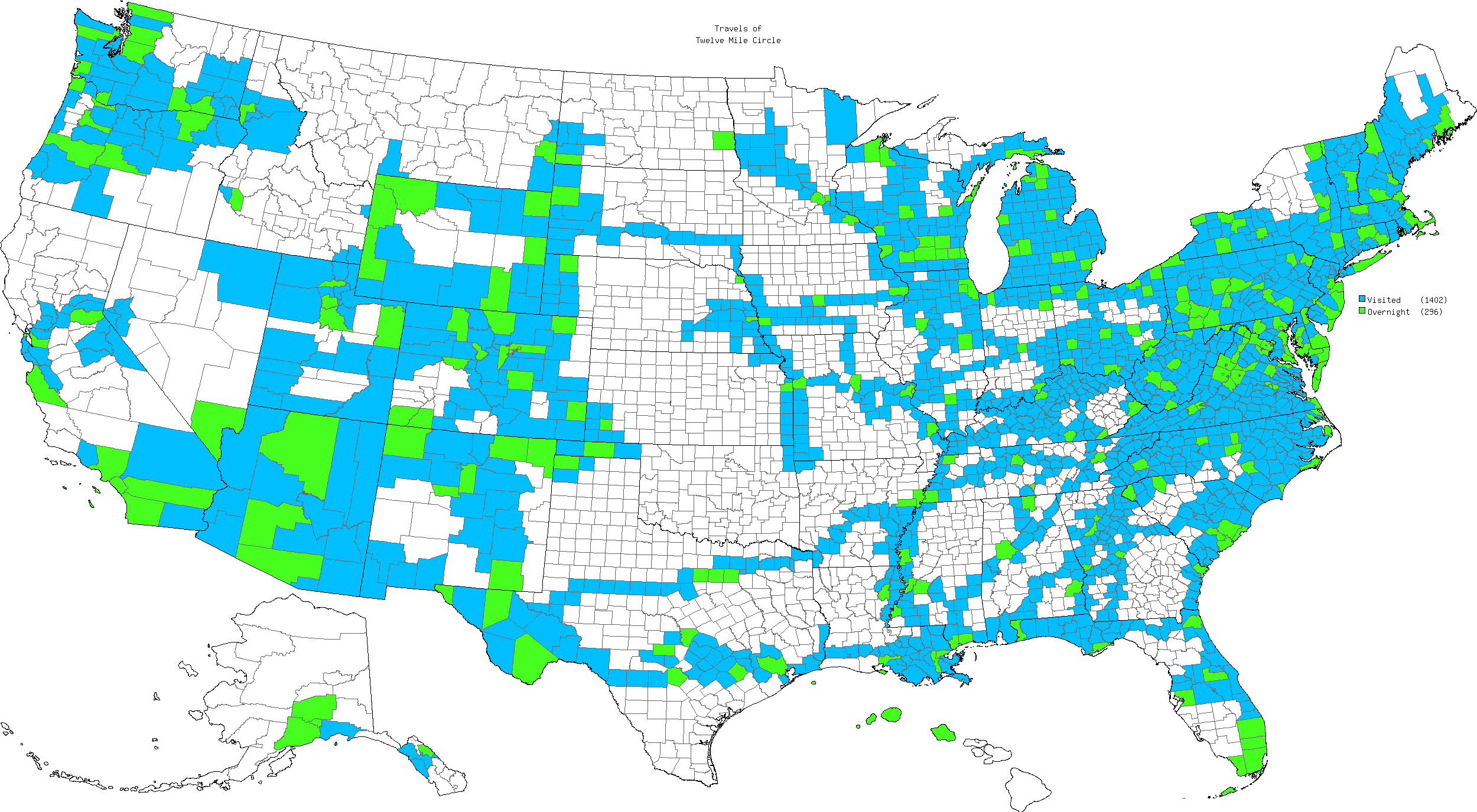
An obscure page on the U.S. Census Bureau website, Substantial Changes to Counties and County Equivalent Entities: 1970-Present may not hold much interest to the general public. Even so it’s a site that I’ve bookmarked and visit once in awhile. It’s an ongoing catalog of boundary changes that involve at least 200 people or areas larger than ten square miles. Impacts like that can be a big deal to the County Counting community.
I hadn’t gone to the page in awhile. Actually I’d put it off intentionally as a matter of fact. Well, I knew changes had been brewing in Alaska and I just didn’t want to deal with them. I was procrastinating.
My recent visit to Alaska forced me to confront the issues though. I couldn’t generate an accurate count of my “new” boroughs (what they call counties in Alaska) without a valid baseline. Sure enough, boundary changes in the last three years impacted my map. There are two new boroughs, a few name changes, and some redrawing of lines. I’ve brought my Alaska tracking page up-to-date.
An Interesting Development
That’s not what grabbed my attention. I knew Alaska needed some attention. No, the surprise involved a 2007 change that took place in the Commonwealth of Virginia. There, York County and the independent City of Newport News swapped chunks of land.
Virginia has that odd system of independent cities functioning as County-Equivalents for Census purposes. Additionally, those cities can annex county lands under certain circumstances. It’s not entirely illogical to conclude that Virginia should therefore represent a disproportionate percentage of changes on the Census website. It’s also understandable that boundary adjustments might be necessary in various places around the United States simply because surveying techniques have improved. What is highly unusual, however, is a willful exchange of land between counties or equivalents for business reasons.
This was a swap. It wasn’t a straight annexation and it wasn’t a boundary adjustment intending to correct an error. Instead, York County and the City of Newport News willfully agreed to exchange separate parcels. The arrangement went into effect on July 1, 2007: a county-to-city transfer of 397.22 acres (population: 22) and a city-to-county transfer of 87.00 acres (population: 315).
The Details
This seemed strange. I wanted to know more so I turned to the public records of both local governments. I found an explanation in the minutes of the County of York Board of Supervisors, April 17, 2007.
“Mr. Carter gave a presentation on proposed Resolution R07-51 to approve a voluntary agreement of annexation and de-annexation between the County of York and the City of Newport News… he displayed a map showing the area of Newport News that would be adjusted into the County and the area would be adjusted from the County into the City. He stated the objective of the boundary line adjustment would be primarily to facilitate the construction of a road… Mr. Shepherd asked if the land picked up in the swap was on the Naval Weapons Station. Mr. Carter said that is correct, and the net change to York County would be minus 310 acres, which represents less than one-half of one percent of the county’s total land area.”
I found it was a little more complicated once I dug into it further. The impetus seems to have been a housing development known as Colony Pines. Developers had already completed a portion of it within the boundaries of pre-2007 Newport News. Another portion remained undeveloped on the other side of the border in what was, at the time, York County.
Win-Win
The swap allowed the entire area to fall within the City of Newport News with its higher property values. That made the parcel instantly more valuable and suitable for development. The benefiting developer, in return, agreed to pay for the construction of a vital connector road through the parcel.
- York County, by giving up the remainder of Colony Pines tract, estimated that it saved $8 – $10 million that would have been needed to construct a new elementary school upon the population of the currently empty parcel. They also picked-up a parcel on the Yorktown Naval Weapons Station with the expectation that the Navy, as has become custom in recent years, would eventually release title to the land back to the County with no strings attached.
- The City of Newport News benefited by gaining more land than it gave up. That assured the absorption of an affluent and expanding community within its boundaries.
- Both will benefit from a connector road that will relieve severe traffic pressures on both sides of the boundary after completion.
That little map was actually one of the more difficult ones I’ve ever produced by the way, not because of its complexity but because definitive sources were hard to find. Google Earth and Mapquest haven’t updated their imagery to reflect the boundary changes. The websites for both jurisdiction had maps but neither presented the entire picture. So I had to resort to primary documentation submitted to the local Circuit Court.
Impacts on Residents
I guess the only stakeholders that didn’t get much in return were those who got swapped from one jurisdiction to another. I found great concern expressed by York County for the eight families that had to be switched into Newport News. Ultimately the County believed it would be better to proceed. I didn’t hear much about the 315 residents formerly of Newport News, but they live here:
These are residential apartments on the Yorktown Naval Weapons Station. Members of the military and their families generally retain residency in their home states during their service. Very few of these residents would be Virginia residents. Even fewer of them would have any formal association either with York County or Newport News. Thus, even though it was a lot of people, the swap didn’t have any meaningful impact upon them. They lived on the Station before the swap, and they lived on the Station after the swap, under military jurisdiction. It was essentially a zero sum proposition for them.
That, succinctly, seems to be the logic behind the only willful exchange of meaningful county-level acreage in the United States — for reasons of convenience — in at least the last forty years.
Leave a Reply