A spot exists in the United States where four states come together at a common point. Naturally they call it the Four Corners. A paved road goes right up to it and for a modest admission fee, visitors can touch four states simultaneously. Then they can take pictures and shop for Navajo crafts set up among several booths around the perimeter. Fewer people know, perhaps even Canadians themselves, that Canada also has a Four Corners as of April 1, 1999. It’s a lot less accessible that its U.S. counterpart.
Creation

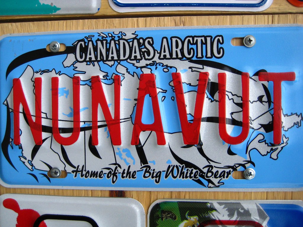
On that date, Canada’s newest and largest territory officially arose through the Nunavut Act and the Nunavut Land Claims Agreement Act. Nunavut split from the Northwest Territories and became the first significant change to the Canadian map since 1949. Thus the newly created Canadian Four Corners marks a common border point for Nunavut, Manitoba, Saskatchewan and the Northwest Territories.
Accessible by Land?
In a recent post I discussed a website called The Corner Corner. I must admit that I stumbled across it while researching the Canada’s 4 Corners spot. It contains an amazing account – including photographs — of the daunting trek necessary to reach to Corner. The monument itself is located on a muskeg between Kasba Lake to the north and Hasbala Lake to the south. However, reaching it requires significant logistical maneuvering and advance planning.
The trekkers drove hundreds of miles deep into Canada to reach Wollaston Lake and Points North Landing in northeastern Saskatchewan. Then they tagged along on a freight flight to the Hasbala Lake Lodge (thus proving that every spot on earth has a website). That took them just south of the confluence. From there they hired a guide who transported them near the spot in a small fishing boat. Finally they hiked through bog and swarming mosquitoes to reach the actual spot marked by an aluminum obelisk. They expended all of this effort to see a point where four imaginary lines came together. Now that’s my kind of adventure!

Leave a Reply