
I had an ulterior motive behind the previous article, X Marks the Spot. Actually, I was researching this article when I discovered a dearth of place names beginning with the letter X. I had been wondering how small a circle I could draw that included place names starting with every letter of the alphabet.
X is the most limiting letter and severely restricts the number of possibilities. Throw in Q and Z, and options become fewer still. Before I started my search I assumed New York would be a great possibility. Queens came to mind along with a huge concentration of named places in a tightly confined space. Pennsylvania seemed like a good bet, too. Neither of them has an X-town however and they were eliminated.
I believe Ohio is the winner
The quest began with Quincy, Xenia and Zanesville, Ohio. There are about 105 air miles between the most distant points, creating a radius of roughly 53 miles. The center comes remarkably close to Columbus, the capital of the state. If I could find a way to draw a circle on a Google Map then this image would be more impressive. It would also probably include places more equally distributed throughout the space. I didn’t have any lines to guide me so it’s more akin to the rectangular shape of the Google Map I used as I searched. Oh well.
Nonetheless I am confident that one can stand at the Ohio Statehouse and reach a named place starting with any letter of the alphabet within 50-ish miles. The image I provided above offers a solution within those constraints.
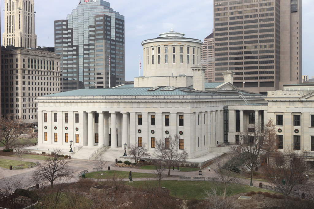
I just noticed on the Ohio Statehouse website that today (November 15, 2011) is the 150th birthday of the statehouse. What an odd coincidence.
“On November 15, 1861, construction on the Ohio Statehouse was finally completed after 22 years of construction. Now, 150 years later, Ohioans will commemorate this historic birthday of their Statehouse and its worthy contributions to American democracy. Ohioans across the state are invited to exhibit their state pride by taking part in this birthday extravaganza.”
Happy Birthday, Ohio Statehouse. I guess I’ve centered the alphabet circle appropriately. I also like their use of Ohioans with all those vowels all in a row.
Now back to the story
Theoretically, there may be a shorter alphabet circle in the United States. Notice the red triangle I’ve drawn on the map. This uses Quincy, Xenia and Zanesfield, a much smaller town than Zanesville but a Z-town nonetheless. One can create a circle with a 24-mile radius incorporating these towns.
That creates its own set of problems: it’s a considerably smaller area located in a primarily rural locale. It doesn’t pick up enough of Dayton’s suburbs to provide much assistance, either. I found most but not all letters of the alphabet. It might still be possible but one would likely have to go to ridiculous extremes. There comes a point where certain place names must be rendered completely insignificant.
Other interesting situations exist albeit with greater radii than either the Columbus Circle (not to be confused with the one in New York) or the Dayton Circle. For instance, Kansas has Quincy, Xenia, and Zimmerdale with a radius of about 65 miles. Also, Illinois has Quincy, Xenia, and Zeigler with a radius of about 95 miles
It’s interesting that all of the examples I found use a Quincy and a Xenia. The use of Xenia isn’t a surprise based upon the previous article. Quincy is somewhat coincidental because there are many more towns that start with Q than X. It just worked out that none of the other Q-towns were closer to a Xenia and a Z. Oddly, Z wasn’t a problem at all. I thought it would be a much larger issue but there are Z-towns all over the place.
Can anyone create a tighter alphabet circle in the United States or elsewhere?
Totally Unrelated
Loyal reader Marc Alifanz (who wrote the Portland, Oregon article) sent me a link to a recent XKCD cartoon. You’ll enjoy this cartoon so check it out. Trust me.
Leave a Reply