
There’s a tendency to wonder about the highest point of land as one examines an area from afar. People make quite a hobby out of of collecting visits to those highpoints even for remarkably small subunits. I’ve been know to do that myself and I’ve featured the results of my efforts on these very pages. However, considerably less attention is given to lowpoints. Where are the web pages devoted to the achievements of state and county lowpointers? Exactly. They don’t receive nearly the same level of respect as their summit climbing brethren.
For a U.S. State
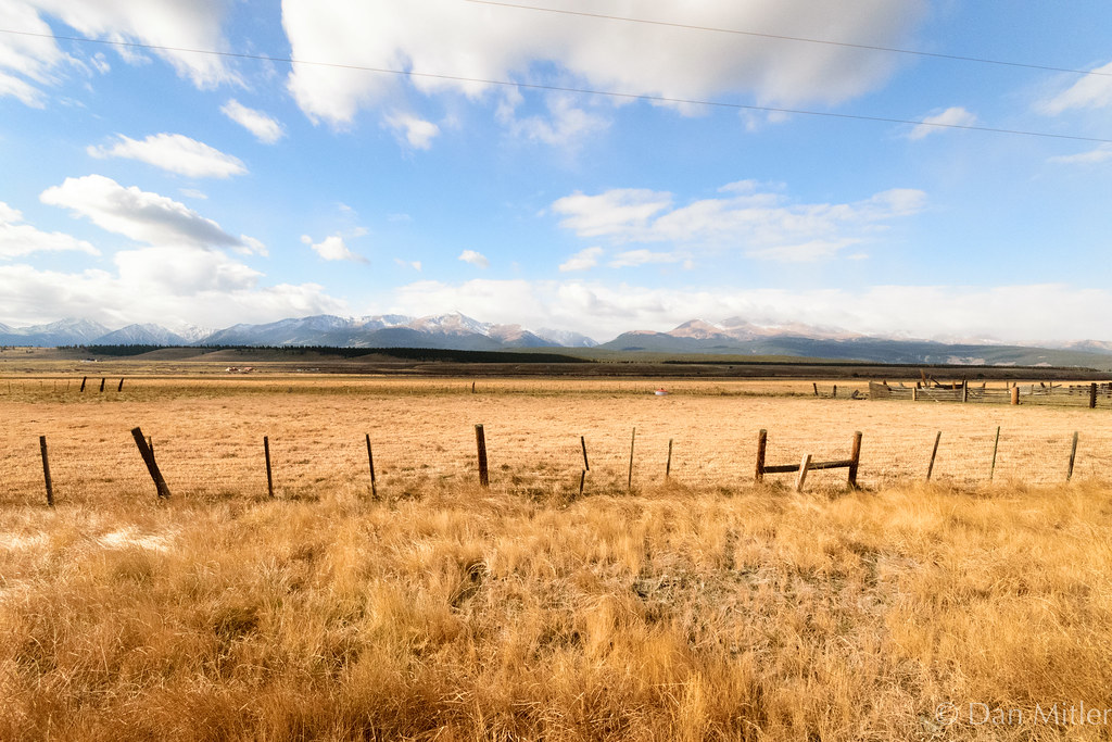
I recognize that California has the lowest U.S. state lowpoint at Death Valley near the lowest public restroom in North America. Then I wondered about the opposite extreme, the state with the highest lowpoint. I found a ready answer from the website of a regular reader, Dale Sanderson of usends.com. The answer is Colorado.
It’s lowpoint occurs where the Arikaree River crosses into northwestern Kansas, at an elevation of 1,010 metres (3,315 feet). He can explain it much better than I, so take a look at his writeup and see how he convinced both the State of Colorado and the U.S. Geological Survey to correct a long-standing error.
For a Canadian Province/Territory
I also examined Canadian provinces and territories. Well, that’s a much easier exercise since all but two have coastlines so their lowpoints have to be less than or equal to zero by definition. That leaves Alberta and Saskatchewan in the running. Whichever has the higher lowpoint gets bragging rights for Canada as neither province nestles any pockets below sea level.
Saskatchewan wins. The highest provincial lowpoint exists along the shore of Lake Athabasca on the boundary with Alberta. Water then flows from Lake Athabasca on the Alberta side of the border into the Slave River where it exits the province. This puts Saskatchewan “uphill” from Alberta and it has the higher lowpoint: 213 m (699 ft) vs. 152 m (499 ft).
I tried the same exercise with the UK, Ireland, France and others but I could not find reliable lowpoint elevations for their divisions. It seems the Americans and Canadians may be uniquely obsessed with this phenomenon.
For Various Continents
Lowpoint information at the national level, however, is readily available so let’s determine champions by continent. Africa wins, hands-down. Lesotho has a lowpoint of 1400 m (4,593 ft) where the Makhaleng River joins the Senqu River at the border with South Africa, where it then becomes known as the Orange River (map).
Europe follows, and again it’s a small mountainous nation that has a natural advantage. Andorra’s Gran Valira River flows into Spain at 840 m (2,756 ft) above sea level (map). The primary route between these two nations runs directly alongside the river. No doubt, many tourists and residents alike get an opportunity to visit Europe’s highest national lowpoint but they probably never realize it.
Next comes Asia at Hoh Nuur in Mongolia (map) at 518 m (1,699 ft). South America follows with the confluence of the Rio Paraguay and Río Negro in Bolivia, on the Bolivian side of the Bolivia-Brazil-Paraguay (BOBRPA) tripoint (map). This highest national lowpoint for South America sits at 90 m (295 ft) above sea level. This will change if Bolivia ever gains it coastline back and frees its landlocked navy.
North America does not have any landlocked nations. There are any number of countries that tie for highest continental lowpoint along their respective seacoasts. Any nation without dry land below sea level would qualify. Finally, Australia trails the pack. It’s unique position as both a continent and a country skews the results. It has only a single national lowpoint and it’s actually below sea level, -15 m (-49 ft) at Lake Eyre (map). I discussed the the Lake Eyre Yacht Club in a previous article.
And Antarctica is moot in this context.
Leave a Reply