
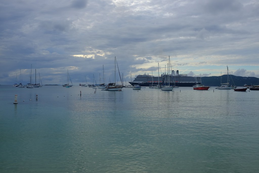
Water Island? Isn’t that an oxymoron? Logically it seems that it should either be water or an island. How could it be both? Actually, it’s not a contradiction. It makes perfect sense at least for the Water Island that’s part of the United States Virgin Islands (map). Early seafarers used its name as a beacon, a way to tell their fellow mariners that they could find potable water there in abundance.
It is unusual in another respect. It didn’t become part of the USVI until 1996, in spite of it being located barely half a mile from well-populated Charlotte Amalie, St. Thomas. Water Island became the fourth, and newest, main island of this insular area of the United States.
It’s not a particularly large island, maybe three miles long and a mile wide, and only about 160 people live there today. So why did everyone consider it a separate entity?
Colonization
Maybe we should define potable water more precisely. The National Park Service conducted a Water Island Archaeological Project in 1988. They concluding that “potable, if not very palatable, water is present in brackish ponds near the coast.” Despite this, it was a much better situation than many other islands strewn about the Caribbean. Those were completely dry. Merchant vessels, naval warships and pirate crews all knew to call on Water Island whenever they needed to resupply. Brackish water seemed infinitely better than no water.
Several nations focused their colonial interests upon the Virgin Islands in the early years of European exploration and dominance. Denmark established and maintained a royal colony on one portion of the archipelago for a couple of centuries. It was a financial drain for decades. The Danes finally gave up and sold their interests to the United States in 1917. The majority of that territory became the nascent USVI. The remainder, specifically Water Island, became a separate insular territory of the United States. Title to the land remained with Denmark’s East Asiatic Company (a freight line) to add yet another twist
World War II and Later

The Second World War arrived and the United States began to worry about the vulnerability of their harbors and shipping channels. This contributed to a decision by the U.S. government to seize ownership of Water Island through condemnation proceedings. So they compensating the East Asiatic Company $10,000 for their loss and took it.
Then they constructed Fort Segarra, a small bunkered outpost with a barracks, artillery and watchtowers (map). Military forces continued to occupy Water Island after the war, changing their focus to chemical warfare testing. It made sense to retain the island as a separate entity to keep prying eyes away from it.
Things began to change around 1950 when the Department of Defense turned the property over to the Department of the Interior, the agency responsible for managing the nation’s insular areas. DOI began to lease parts of the island to private citizens. It made less sense to manage Water Island as a separate insular area over time, leading to its eventual reunion with USVI in 1996.
Water Island stands alone no more.
Leave a Reply