
What’s the highest island elevation? Why do I find so many different answer when I try to track it down? I thought it was a rather straightforward question but that doesn’t seem to be the case. Apparently elevation is in the eye of the beholder. Let’s review some of the candidates and see if we can better differentiate amongst them.
The Tallest Mountain
A measurement from the base of a mountain to it’s peak is one way to define elevation (notice I didn’t say elevation above sea level). There are of course many mountains that form at the bottom of the sea and poke their summits above the surface to form islands. Some of those barely rise above the waters while others reach astounding heights.
When I first considered the question my mind naturally wandered to Mauna Loa (map) on Hawaii’s Big Island. That’s because I’m captive to my cultural upbringing and I gravitate to U.S. examples quite naturally. That doesn’t make the answer correct but it does serve as a reference point for further exploration.
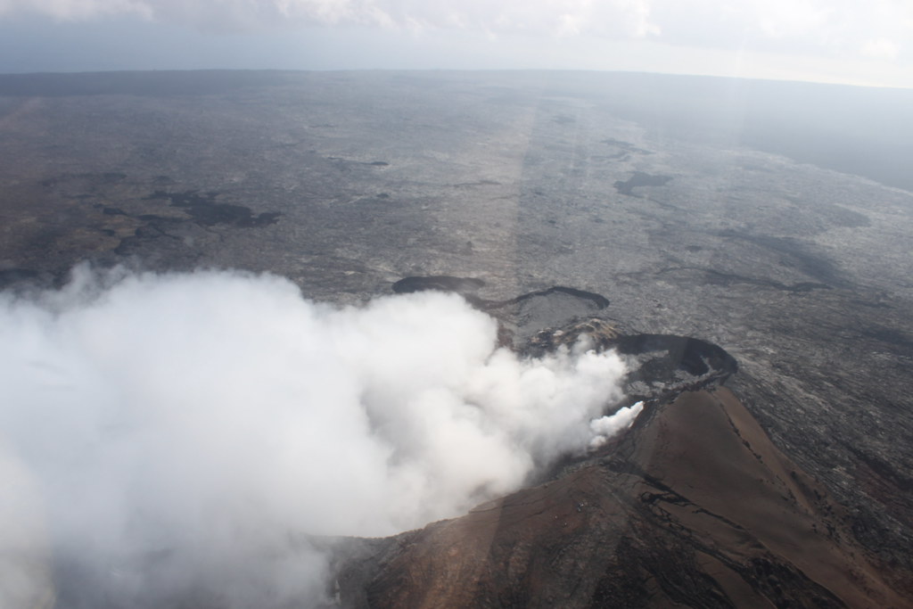
Mauna Loa rises 4,169 metres (13,679 feet) above sea level, which is impressive enough. However, it’s the rest of the mountain below the waterline that makes this place truly special. From sea floor to summit, Mauna Loa reaches 10,099 m (33,132 ft).
I won’t dispute those facts but it sounds a little bogus to me if we’re talking about the highest island elevation. The island part of the mountain, by definition, sits above the surface. Let’s set this poseur aside. If I can’t see it, I don’t count it.
There’s an interesting bit of trivia here if you’ll indulge me for just a moment and allow me to go off on a small tangent. Mauna Loa may be the tallest mountain from base to peak, but it doesn’t capture the highest elevation above sea level on the island of Hawaii. No, the island highpoint, indeed the state highpoint exists on nearby Mauna Kea at 4,207 m (13,803 ft). I guess that has something to do with the topography of the Hawaiian Trench along the sea floor. Maybe it undulates a certain way at the base of Mauna Loa.
The Highest Elevation of a Non-Continental Island
That’s a mouthful. I had to use that level of detail to differentiate it from other possibilities. You’ll see why in a moment.

This is the kind of island I think of reflexively when the notion of a “tall” island comes to mind. This is the stereotype. Mauna Loa and Mauna Kea are great examples but not the best. That title goes to the island of New Guinea. A mountain on the Indonesian side of the border called Puncak Jaya or Carstensz Pyramid (map) blows those Hawaiian examples right out of the water at 4,884 m (16,024 ft).
Look in lots of places around the Intertubes and you’ll be told insistently that this is the highest island. It’s even listed first on Wikipedias’ List of islands by highest point. That sounds great. Truly impressive. Now, can we examine this a little differently and find another answer?
The Highest Island Elevation
Let’s continue with elevation above sea level but not limit ourselves to non-continental islands. Any island anywhere would be eligible for consideration.
I can’t answer this definitively but one great candidate would be the small islands on Orba Co (Wo’er Bacuo) lake in Tibet. The World Island Information website’s Island Superlatives page claims that these are the highest in the world at 5,209 m (17,090 ft).
Personally I like this answer the best. I find a lot of satisfaction pondering the possibility that the highest island elevation might exist on one of these tiny unnamed flyspecks on a remote Tibetan lake. Now that’s a geo-oddity. What do you think? Is the highest island Mauna Loa, New Guinea or a pimple on Orba Co Lake?
So does the award go to the United States, Indonesia or China? Or are there other candidate I’ve completely overlooked?
Leave a Reply